
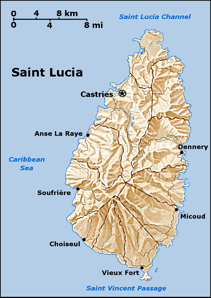
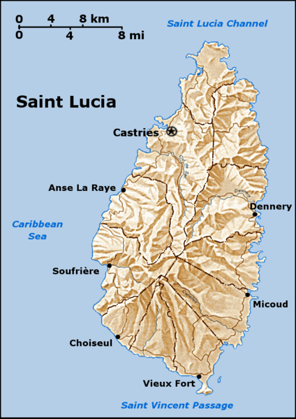
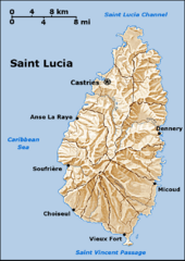
Image: Saint Lucia geography map en
Size of this preview: 424 × 599 pixels. Other resolutions: 170 × 240 pixels | 733 × 1,036 pixels.
Original image (733 × 1,036 pixels, file size: 649 KB, MIME type: image/png)
Description: a map of Saint Lucia that i created, based on a public domain map from the PCL, found here. I created this using the GIMP. Feel free to contact me if you want the source XCF. see also the labelled version.
Title: Saint Lucia geography map en
Credit: No machine-readable source provided. Own work assumed (based on copyright claims).
Author: No machine-readable author provided. Doviende~commonswiki assumed (based on copyright claims).
Usage Terms: Creative Commons Attribution-Share Alike 3.0
License: CC-BY-SA-3.0
License Link: http://creativecommons.org/licenses/by-sa/3.0/
Attribution Required?: Yes
Image usage
The following page links to this image:

All content from Kiddle encyclopedia articles (including the article images and facts) can be freely used under Attribution-ShareAlike license, unless stated otherwise.