
Image: Sandy Hill
Size of this preview: 799 × 599 pixels. Other resolutions: 320 × 240 pixels | 3,892 × 2,920 pixels.
Original image (3,892 × 2,920 pixels, file size: 4.05 MB, MIME type: image/jpeg)
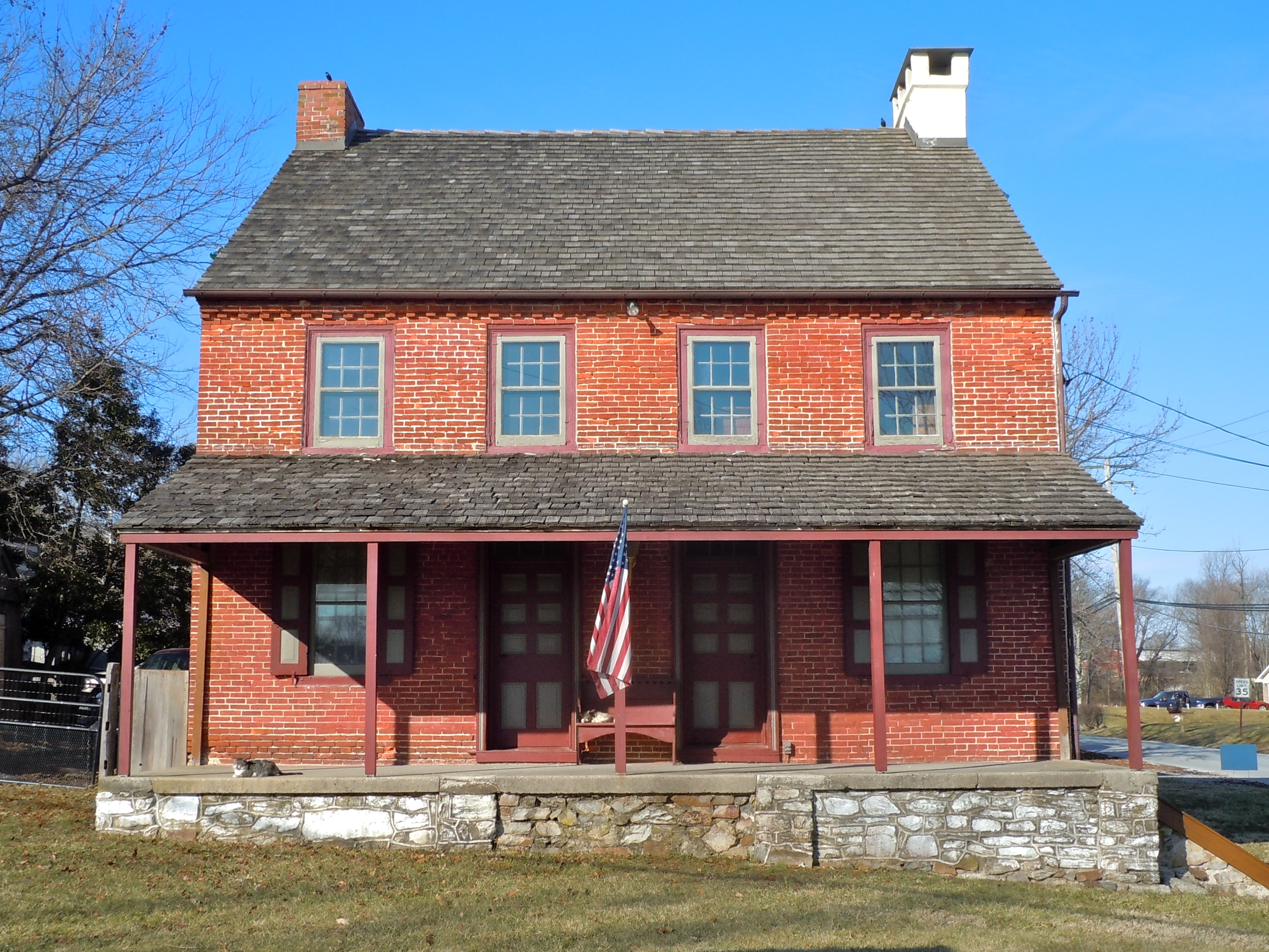
Description: Sandy Hill Tavern on the NRHP since December 10, 1980. Located southeast of Honey Brook on Pennsylvania Route 340 at the NE corner with Sandy Hill Road, West Caln Township, Chester County, Pennsylvania, near Coatesville.
Title: Sandy Hill
Credit: Own work
Author: Smallbones
Usage Terms: Creative Commons Zero, Public Domain Dedication
License: CC0
License Link: http://creativecommons.org/publicdomain/zero/1.0/deed.en
Attribution Required?: No
Image usage
The following 2 pages link to this image:

All content from Kiddle encyclopedia articles (including the article images and facts) can be freely used under Attribution-ShareAlike license, unless stated otherwise.