
Image: Saxony nol 1999

Size of this preview: 750 × 600 pixels. Other resolutions: 300 × 240 pixels | 800 × 640 pixels.
Original image (800 × 640 pixels, file size: 12 KB, MIME type: image/png)
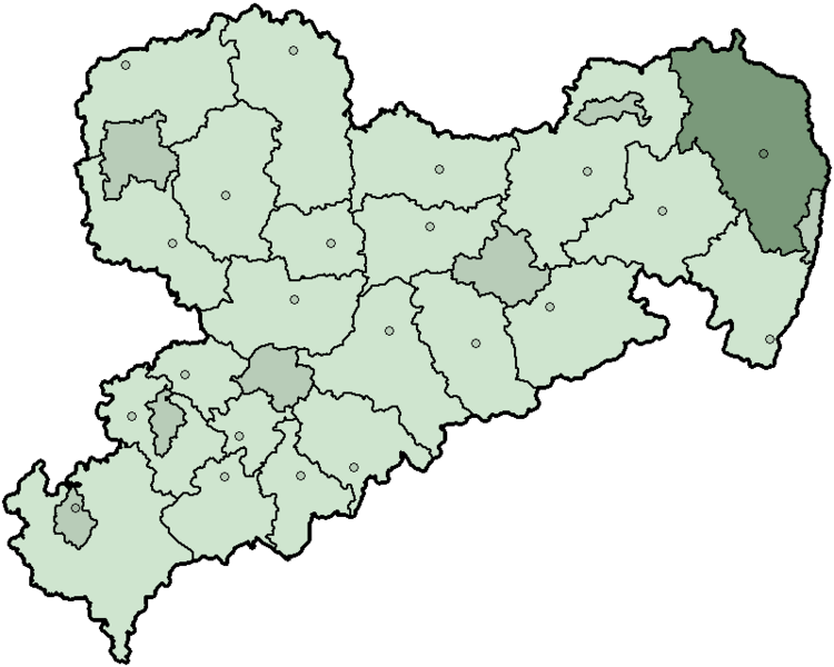
Description: Map of the state Saxony in Germany since 1999 and before 2008, district Niederschlesischer Oberlausitzkreis highlighted.
Title: Saxony nol 1999
Credit: Own work
Author: First version was created by Baldhur (also know as Cordyph) and colored by 32X. Current version was created by TM based on Landkreise Sachsen.png, updated with information from www.sachsen.de and several other sources.
Usage Terms: Creative Commons Attribution-Share Alike 3.0
License: CC-BY-SA-3.0
License Link: http://creativecommons.org/licenses/by-sa/3.0/
Attribution Required?: Yes
Image usage
The following page links to this image:

All content from Kiddle encyclopedia articles (including the article images and facts) can be freely used under Attribution-ShareAlike license, unless stated otherwise.