
Image: Say map
Size of this preview: 477 × 600 pixels. Other resolutions: 191 × 240 pixels | 1,880 × 2,363 pixels.
Original image (1,880 × 2,363 pixels, file size: 1.31 MB, MIME type: image/jpeg)
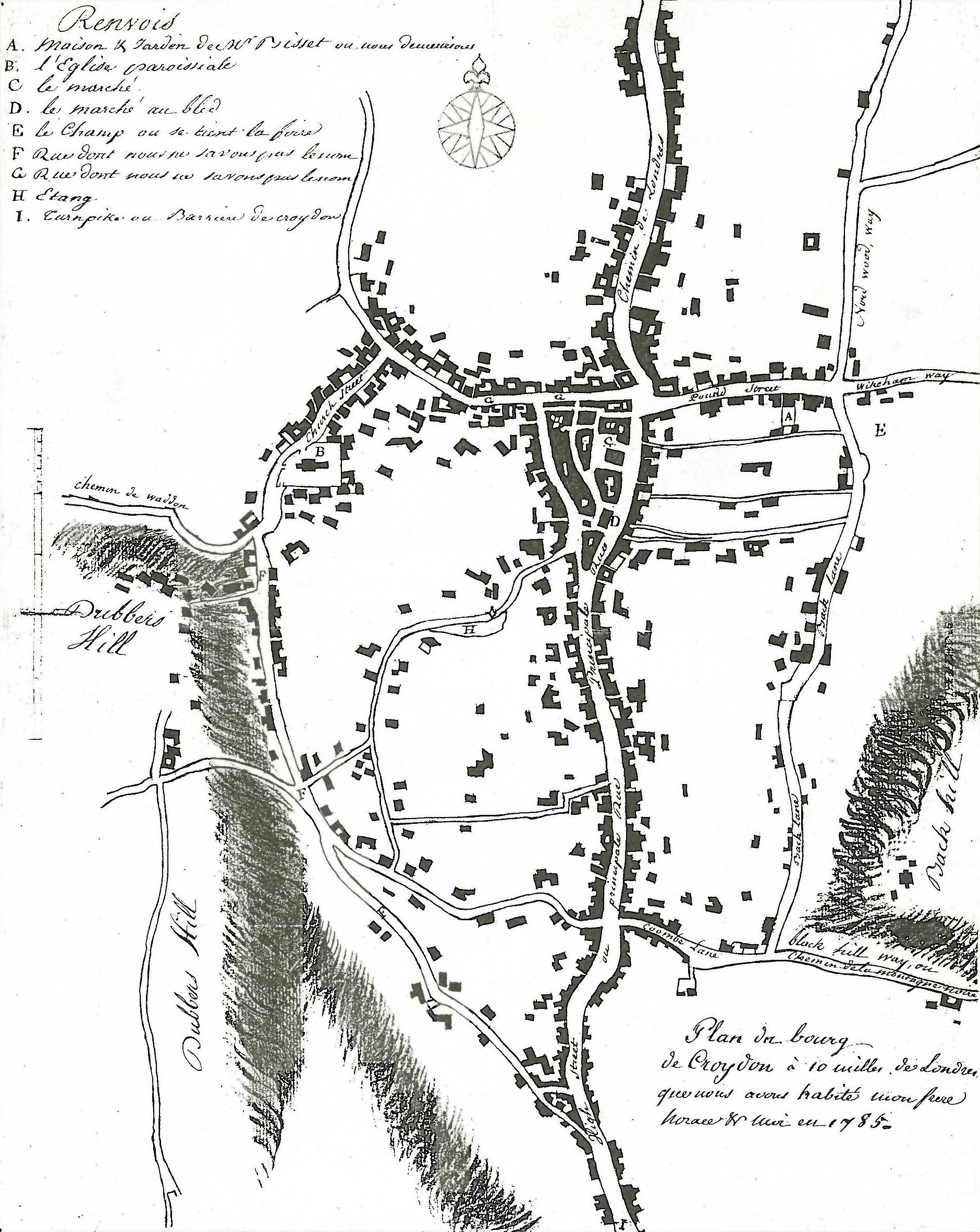
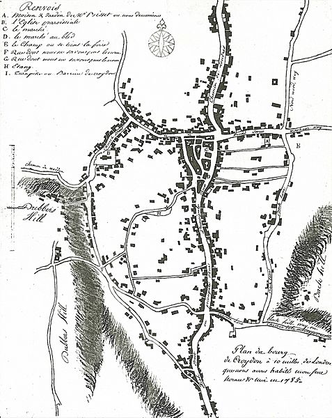
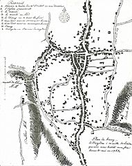
Description: Plan of the town of Croydon drawn by Jean-Baptiste Say (1767–1832) in 1785. Marked locations include: A - house of Alexander Bisset where Say and his brother stayed; B - parish church; C - market; D - cornmarket; E - Fairfield; F & G unnamed roads; H - pond; I - turnpike gate. Location of original: Croydon Archives AR 47/1.
Title: Say map
Credit: MS map of Croydon, 1785: scanned from J.B. Gent, Croydon: a Pictorial History (Chichester, 1991)
Author: Jean-Baptiste Say (1767–1832)
Usage Terms: Public domain
License: Public domain
Attribution Required?: No
Image usage
The following 2 pages link to this image:

All content from Kiddle encyclopedia articles (including the article images and facts) can be freely used under Attribution-ShareAlike license, unless stated otherwise.