
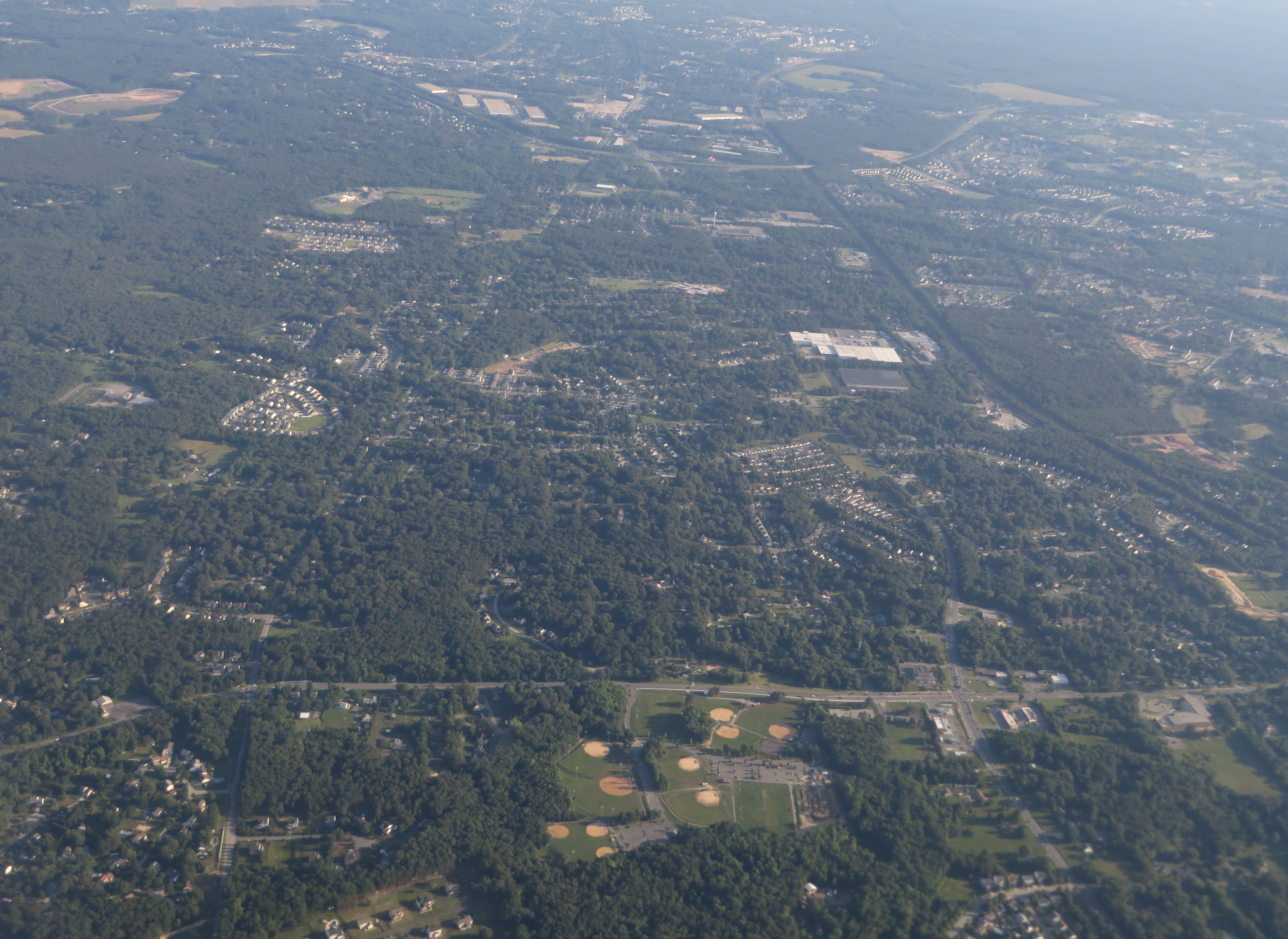
Image: Severn, Maryland (14311506070)
Description: Severn is a census-designated place (CDP) in Anne Arundel County, Maryland, United States. The population was 44,231 at the 2010 census, a 26% increase from its population of 35,076 at the 2000 census. It is bordered by Baltimore–Washington International Airport to the north, Glen Burnie to the east, Gambrills, Odenton, and Fort George G. Meade to the south, and partially by Jessup to the west. The Baltimore–Washington Parkway (Maryland Route 295) forms the northwestern edge of the CDP, Maryland Route 176 (Dorsey Road) forms the northern edge, and Interstate 97 forms the eastern edge. Part of the southern boundary of the CDP is formed by the non-tidal portion of the Severn River. The Maryland Route 100 freeway runs through the northern part of the CDP, connecting the Parkway and I-97. Arundel Mills, a major regional mall, is located in the northern corner of the CDP, near the intersection of Route 100 and the Baltimore–Washington Parkway. en.wikipedia.org/wiki/Severn,_Maryland en.wikipedia.org/wiki/Wikipedia:Text_of_Creative_Commons_...
Title: Severn, Maryland (14311506070)
Credit: Severn, Maryland
Author: Ken Lund from Reno, Nevada, USA
Usage Terms: Creative Commons Attribution-Share Alike 2.0
License: CC BY-SA 2.0
License Link: http://creativecommons.org/licenses/by-sa/2.0
Attribution Required?: Yes
Image usage
The following page links to this image:

.jpg)