
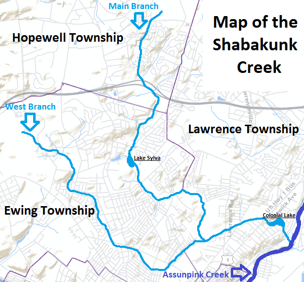
Image: Shabakunk Creek map
No higher resolution available.
Shabakunk_Creek_map.png (606 × 561 pixels, file size: 242 KB, MIME type: image/png)
Description: Map of the Shabakunk Creek. Background map from US Census Bureau, highlighted with streams in question and names by uploader.
Title: Shabakunk Creek map
Credit: Tiger Mapping - US Census Bureau
Author: US Census Bureau - Altered by uploader to show neighborhoods
Usage Terms: Public domain
License: Public domain
Attribution Required?: No
Image usage
The following page links to this image:

All content from Kiddle encyclopedia articles (including the article images and facts) can be freely used under Attribution-ShareAlike license, unless stated otherwise.