
Image: Simla Convention map by Hugh Richardson
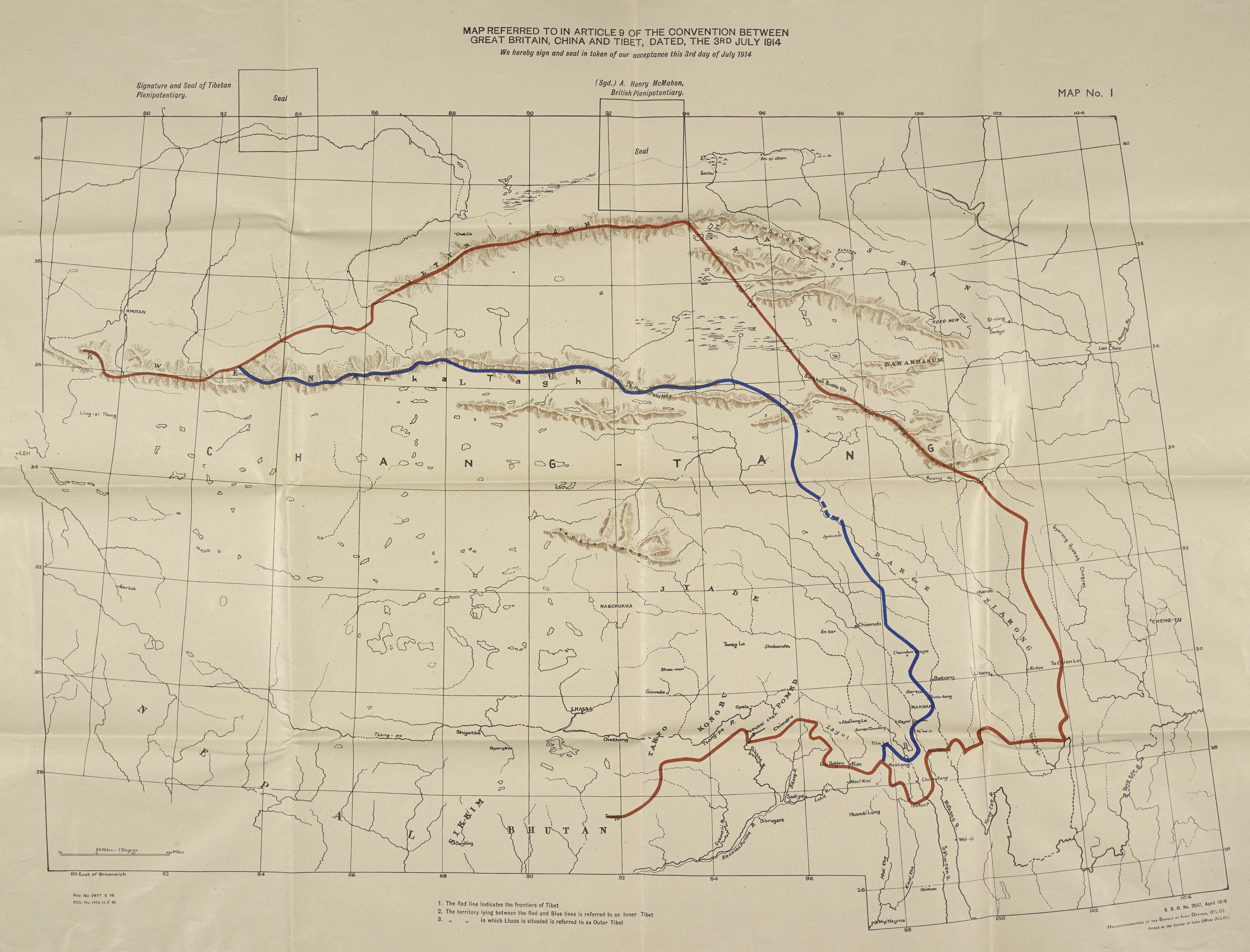
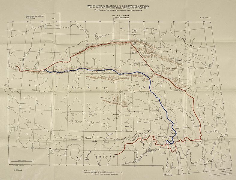
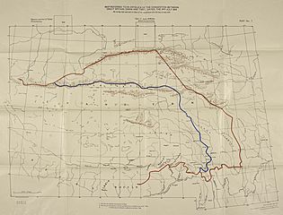
Description: 1945 Map Referred to in Article 9 of Convention between Britain China and Tibet from Tibetan Precis by Hugh Richardson The map shows the frontier of Tibet (in red), and the boundary between the Lhasa-controlled 'Outer Tibet' and Chinese-administered 'Inner Tibet' (in blue) as decided at the 1914 Simla Conference. Tibet and Britain signed the Convention, but not China. The southern portion of the red line up to the Isu Razi pass formed the boundary between Tibet and British Raj, later coming to be called the McMahon Line.
Title: Simla Convention map by Hugh Richardson
Credit: https://pahar.in
Author: Hugh Richardson
Usage Terms: Public domain
License: Public domain
Attribution Required?: No
Image usage
The following page links to this image:
