
Image: Solomon Islands 1989
Size of this preview: 750 × 600 pixels. Other resolutions: 300 × 240 pixels | 1,203 × 962 pixels.
Original image (1,203 × 962 pixels, file size: 131 KB, MIME type: image/jpeg)
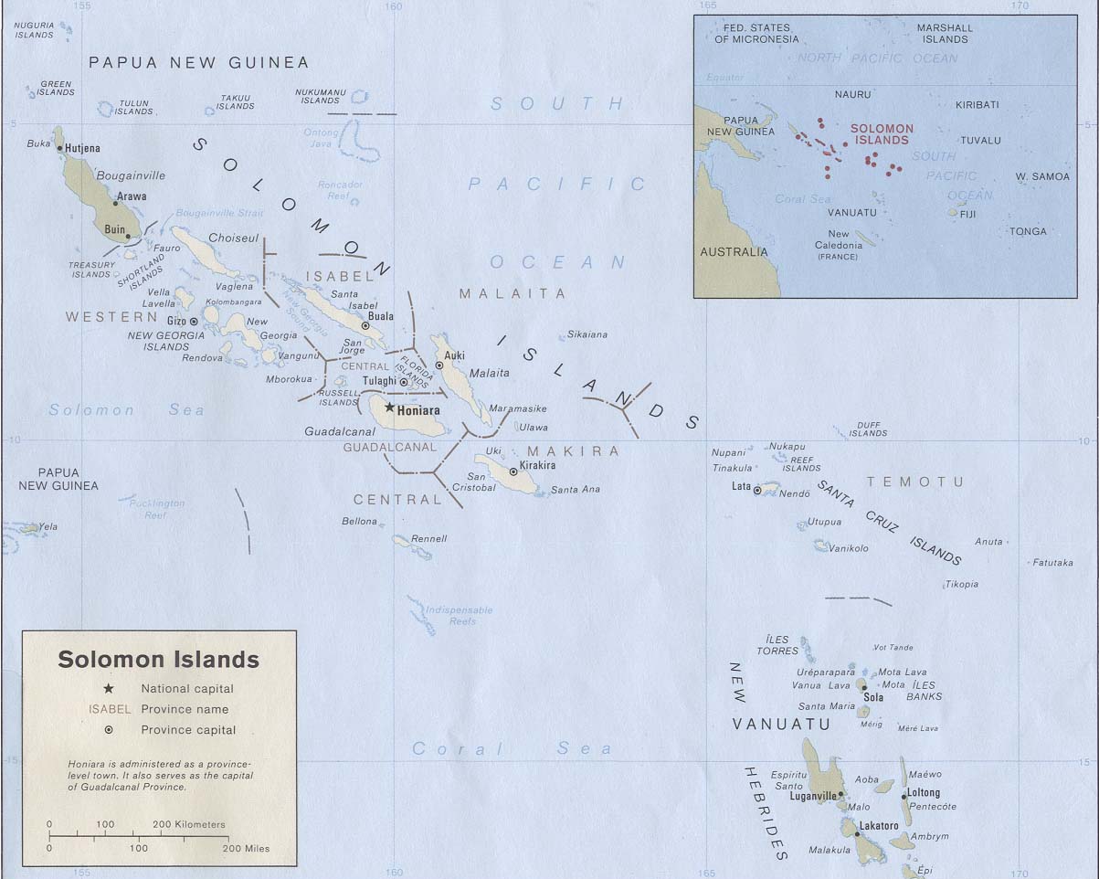
Description: Map of the Solomon Islands as of 1989. Province names are included, except for two new provinces as of 1995: the Rennell and Bellona Province (formerly part of Central Province) and the Choiseul Province (formerly part of Western Province).
Title: Solomon Islands 1989
Credit: Solomon Islands (Political) 1989 from Perry-Castañeda Library Map Collection: Solomon Islands Maps. Cropped to remove white space from edges of map.
Author: U.S. Central Intelligence Agency
Permission: Public domain
Usage Terms: Public domain
License: Public domain
Attribution Required?: No
Image usage
The following page links to this image:

All content from Kiddle encyclopedia articles (including the article images and facts) can be freely used under Attribution-ShareAlike license, unless stated otherwise.