
Image: SolomonsNewGeorgiaPacificWarMap
Size of this preview: 794 × 599 pixels. Other resolutions: 318 × 240 pixels | 1,200 × 906 pixels.
Original image (1,200 × 906 pixels, file size: 164 KB, MIME type: image/jpeg)
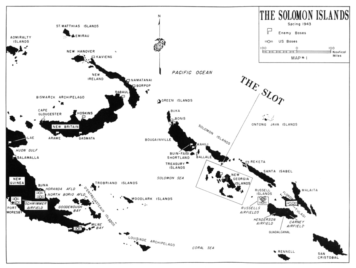
Description: Solomon Islands, South Pacific showing situation in Spring 1943 before the Allied invasion of the highlighted New Georgia Island group.
Title: SolomonsNewGeorgiaPacificWarMap
Credit: [1] [2]
Author: US Marine Corps
Usage Terms: Public domain
License: Public domain
Attribution Required?: No
Image usage
The following 3 pages link to this image:

All content from Kiddle encyclopedia articles (including the article images and facts) can be freely used under Attribution-ShareAlike license, unless stated otherwise.