
Image: South Africa Eastern Cape location map

Size of this PNG preview of this SVG file: 800 × 556 pixels. Other resolution: 320 × 222 pixels.
Original image (SVG file, nominally 1,298 × 902 pixels, file size: 282 KB)
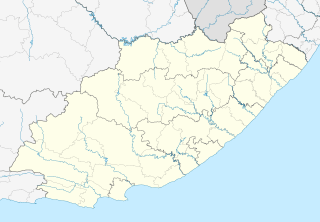
Description: Location map of the Eastern Cape Equirectangular projection, N/S stretching 117%. Geographic limits of the map: N: 29.75° S S: 34.5° S W: 22.5° E E: 30.5° E
Title: South Africa Eastern Cape location map
Credit: Boundaries and coastline: Municipal Demarcation Board Rivers: VMAP0
Author: Htonl
Permission: I, the copyright holder of this work, hereby publish it under the following license:
Usage Terms: Creative Commons Attribution-Share Alike 3.0
License: CC BY-SA 3.0
License Link: https://creativecommons.org/licenses/by-sa/3.0
Attribution Required?: Yes
Image usage
The following 5 pages link to this image:

All content from Kiddle encyclopedia articles (including the article images and facts) can be freely used under Attribution-ShareAlike license, unless stated otherwise.