
Image: South Africa adm location map

Size of this PNG preview of this SVG file: 699 × 599 pixels. Other resolution: 280 × 240 pixels.
Original image (SVG file, nominally 2,031 × 1,741 pixels, file size: 458 KB)
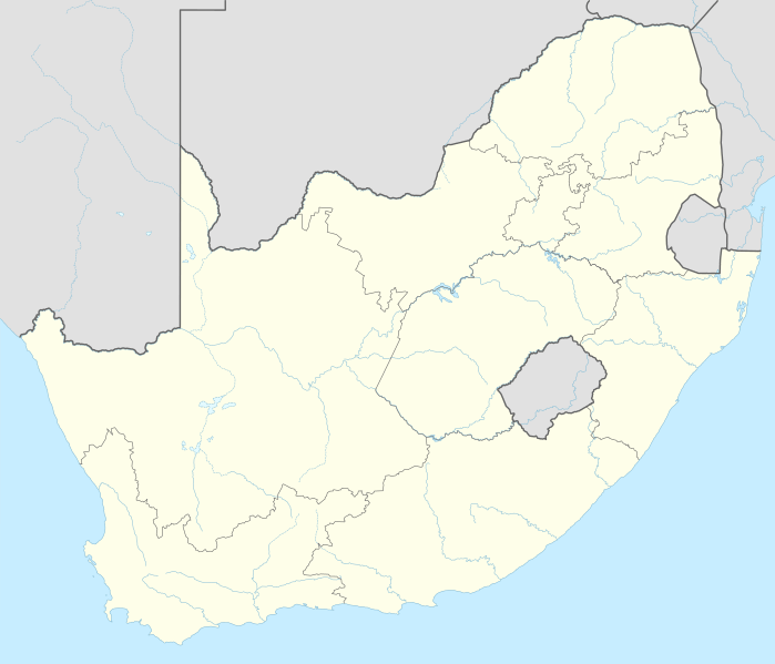
Description: Location map of South Africa
Title: South Africa adm location map
Credit: Own work using: United States National Imagery and Mapping Agency data World Data Base II data South Africa Municipal Demarcation Board
Author: NordNordWest
Usage Terms: Creative Commons Attribution-Share Alike 3.0 de
License: CC BY-SA 3.0 de
License Link: https://creativecommons.org/licenses/by-sa/3.0/de/deed.en
Attribution Required?: Yes
Image usage
The following 51 pages link to this image:
- Aliwal North
- Balfour, Mpumalanga
- Balmoral, South Africa
- Barberton, South Africa
- Belfast, Mpumalanga
- Bethulie
- Bhisho
- Big Hole
- Brandfort
- Cape Town
- Derby, South Africa
- Dingane
- Dingane kaSenzangakhona
- Durban
- East London, South Africa
- Ficksburg
- Gqeberha
- Heidelberg, Gauteng
- Heilbron
- Irene, Gauteng
- Johannesburg
- Kimberley, Northern Cape
- Klerksdorp
- Kroonstad
- Krugersdorp
- Lindley, Free State
- Mafikeng
- Mamelodi
- Mbombela
- Middelburg, Mpumalanga
- Modimolle
- Nelspruit
- Norvalspont
- Petrus Steyn
- Pinetown
- Potchefstroom
- Pretoria
- Qunu
- Robben Island
- South Africa
- Soweto
- Springfontein
- Standerton
- Tzaneen
- Vereeniging
- Volksrust
- Vredefort
- Vredefort crater
- Vredefort impact structure
- Vryburg
- Winburg

All content from Kiddle encyclopedia articles (including the article images and facts) can be freely used under Attribution-ShareAlike license, unless stated otherwise.