
Image: South Shetland Islands location map

Size of this PNG preview of this SVG file: 800 × 453 pixels. Other resolution: 320 × 181 pixels.
Original image (SVG file, nominally 1,373 × 777 pixels, file size: 60 KB)
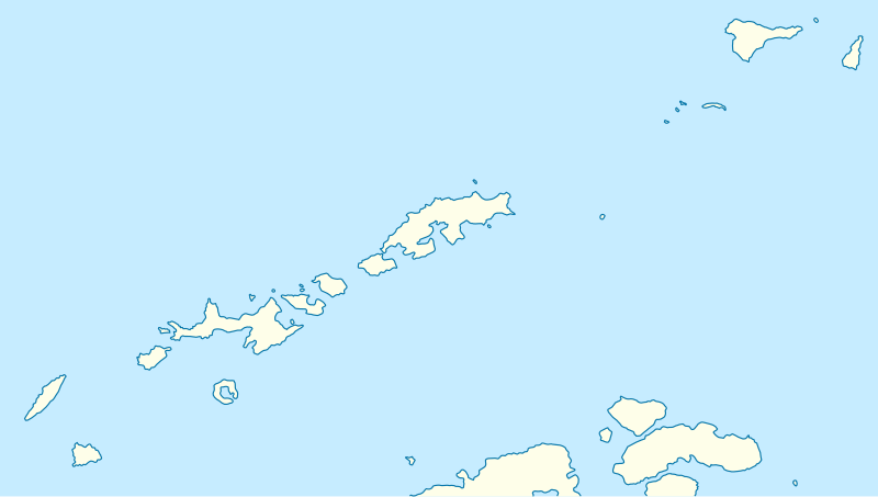
Description: Location map of the South Shetland Islands
Title: South Shetland Islands location map
Credit: own work, using United States National Imagery and Mapping Agency data
Author: NordNordWest
Usage Terms: Creative Commons Attribution-Share Alike 3.0
License: CC BY-SA 3.0
License Link: https://creativecommons.org/licenses/by-sa/3.0
Attribution Required?: Yes
Image usage
The following 14 pages link to this image:
- Aitcho Islands (South Shetland Islands)
- Barrientos Island
- Cacho Island
- Clarence Island (South Shetland Islands)
- Deception Island
- Kianida Reef
- King George Island (South Shetland Islands)
- Livingston Island
- Low Island (South Shetland Islands)
- Nelson Island (South Shetland Islands)
- Ogygia Island
- Pindarev Island
- Robert Island
- Snow Island (South Shetland Islands)

All content from Kiddle encyclopedia articles (including the article images and facts) can be freely used under Attribution-ShareAlike license, unless stated otherwise.