
Image: South Yorkshire outline map with UK
No higher resolution available.
South_Yorkshire_outline_map_with_UK.png (800 × 558 pixels, file size: 423 KB, MIME type: image/png)
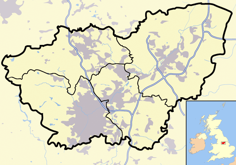
Description: Map of en:South Yorkshire and surrounding area, with micromap of the British Isles for context. Urban areas are shown in grey, water bodies in light-blue, motorways in blue with white stripe and county and borough boundaries in black.
Title: South Yorkshire outline map with UK
Credit: Transferred from en.wikipedia to Commons.
Author: Jhamez84 at English Wikipedia
Usage Terms: Public domain
License: Public domain
Attribution Required?: No
Image usage
The following page links to this image:

All content from Kiddle encyclopedia articles (including the article images and facts) can be freely used under Attribution-ShareAlike license, unless stated otherwise.