
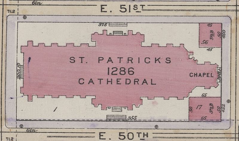
Image: St. Patricks Cathedral map in 1916, from- Bromley Manhattan Plate 078 publ. 1916 (cropped)

Size of this preview: 800 × 473 pixels. Other resolutions: 320 × 189 pixels | 1,089 × 644 pixels.
Original image (1,089 × 644 pixels, file size: 193 KB, MIME type: image/jpeg)
Description: Plate 78 from: Bromley, George W. and Walter S. Atlas of the Borough of Manhattan City of New York. Desk and library edition. (New York: G. W. Bromley and Co., 1916)
Title: St. Patricks Cathedral map in 1916, from- Bromley Manhattan Plate 078 publ. 1916 (cropped)
Credit: This image is available from the New York Public Library's Digital Library under the digital ID 1511806: digitalgallery.nypl.org → digitalcollections.nypl.org
Author: George W. Bromley and Walter S. Bromley
Usage Terms: Public domain
License: Public domain
Attribution Required?: No
Image usage
The following 2 pages link to this image:

All content from Kiddle encyclopedia articles (including the article images and facts) can be freely used under Attribution-ShareAlike license, unless stated otherwise.
.jpg)