
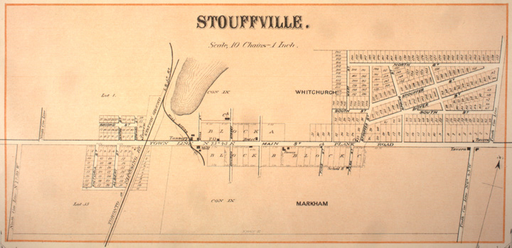
Image: Stouffville Map 1880
No higher resolution available.
Stouffville_Map_1880.jpg (720 × 349 pixels, file size: 123 KB, MIME type: image/jpeg)
Description: Map of Stouffville, 1880
Title: Stouffville Map 1880
Credit: Canadian County Atlas Digital Project, McGill University (link)
Author: Unknown
Permission: Copyright expired
Usage Terms: Public domain
License: Public domain
Attribution Required?: No
Image usage
The following page links to this image:

All content from Kiddle encyclopedia articles (including the article images and facts) can be freely used under Attribution-ShareAlike license, unless stated otherwise.