
Image: Sultan Nur Map
Size of this preview: 800 × 450 pixels. Other resolutions: 320 × 180 pixels | 1,713 × 964 pixels.
Original image (1,713 × 964 pixels, file size: 2.37 MB, MIME type: image/png)
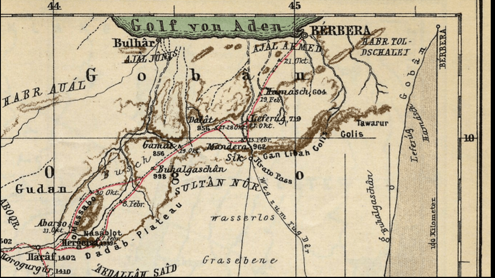
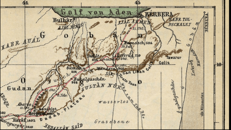
Description: A map made in 1896 by German Cartographer Paulitschke Philip, showing central British Somaliland.
Title: Sultan Nur Map
Credit: Digital Libary Illinois
Author: Paulitschke, Philipp
Usage Terms: Creative Commons Attribution-Share Alike 4.0
License: CC BY-SA 4.0
License Link: https://creativecommons.org/licenses/by-sa/4.0
Attribution Required?: Yes
Image usage
The following 2 pages link to this image:

All content from Kiddle encyclopedia articles (including the article images and facts) can be freely used under Attribution-ShareAlike license, unless stated otherwise.