
Image: Survey monument JF00-072 from W 2
Size of this preview: 800 × 398 pixels. Other resolutions: 320 × 159 pixels | 2,336 × 1,163 pixels.
Original image (2,336 × 1,163 pixels, file size: 1.09 MB, MIME type: image/jpeg)
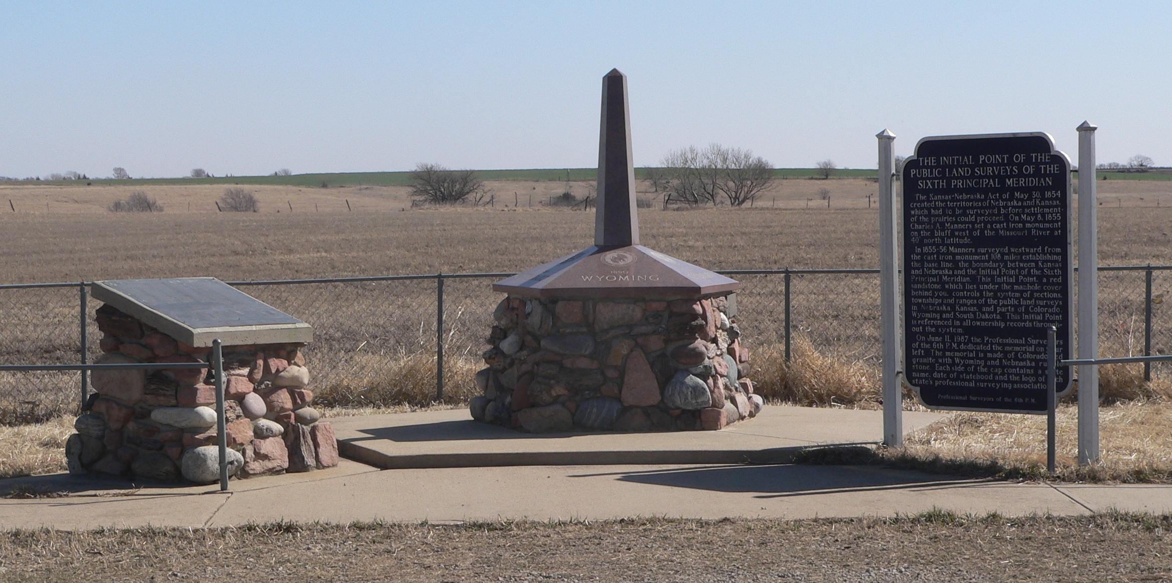
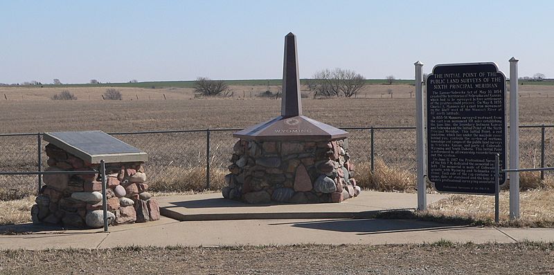
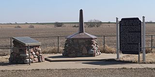
Description: Survey monument JF00-072, located on Nebraska-Kansas state line at intersection of Nebraska counties Thayer and Jefferson and Kansas counties Washington and Republic; marking the intersection of 40 degrees north latitude and the Sixth Principal Meridian. Monuments and historical marker, seen from the west.
Title: Survey monument JF00-072 from W 2
Credit: Own work
Author: Ammodramus
Usage Terms: Creative Commons Zero, Public Domain Dedication
License: CC0
License Link: http://creativecommons.org/publicdomain/zero/1.0/deed.en
Attribution Required?: No
Image usage
The following 3 pages link to this image:

All content from Kiddle encyclopedia articles (including the article images and facts) can be freely used under Attribution-ShareAlike license, unless stated otherwise.