
Image: TahitiMooreaMap
Size of this preview: 800 × 598 pixels. Other resolutions: 320 × 239 pixels | 979 × 732 pixels.
Original image (979 × 732 pixels, file size: 16 KB, MIME type: image/png)
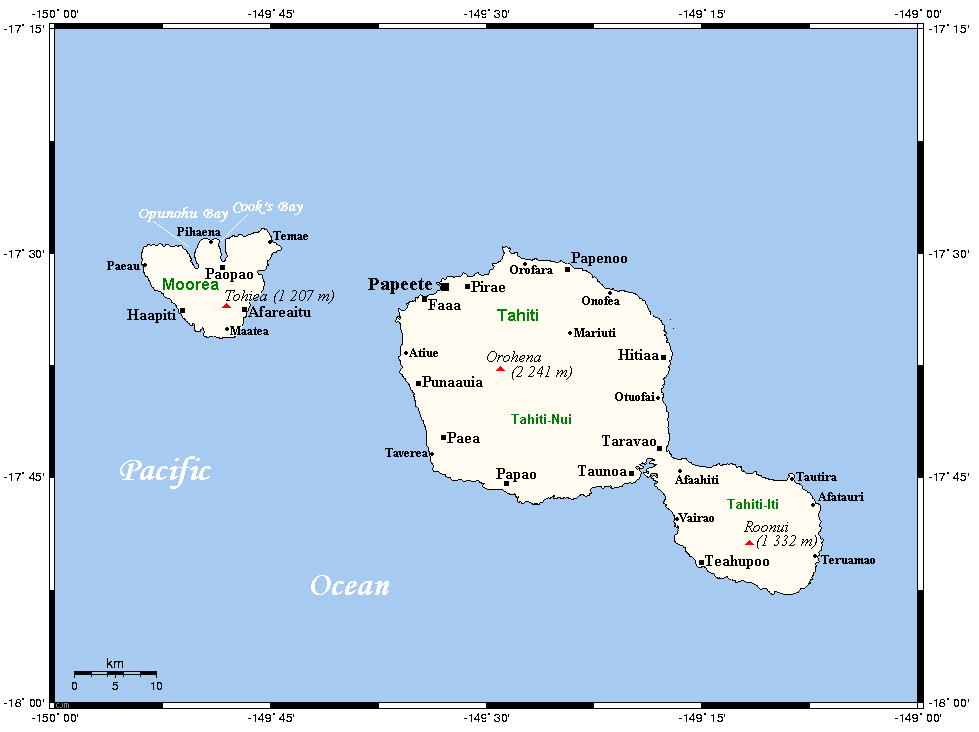
Description: A map of Tahiti and Moorea in the Society Islands (French Polynesia) showing main centres and peaks
Title: TahitiMooreaMap
Credit: This map's source is here (select Papeete in the search box), with the uploader's modifications, and the GMT homepage says that the tools are released under the GNU General Public License
Author: Kelisi at en.wikipedia
Usage Terms: Creative Commons Attribution-Share Alike 3.0
License: CC-BY-SA-3.0
License Link: http://creativecommons.org/licenses/by-sa/3.0/
Attribution Required?: Yes
Image usage
There are no pages that link to this image.

All content from Kiddle encyclopedia articles (including the article images and facts) can be freely used under Attribution-ShareAlike license, unless stated otherwise.