
Image: Tarn topographic map-fr

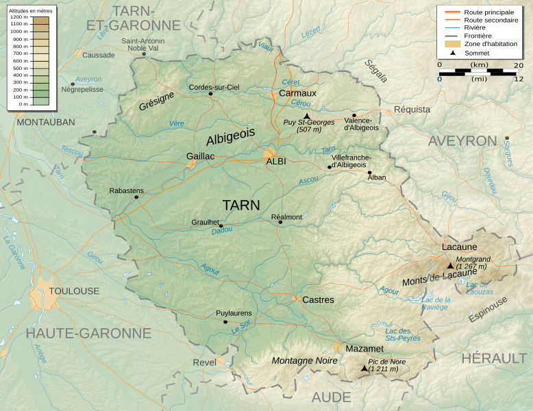
Description: Topographic map in French of Tarn departement in France
Title: Tarn topographic map-fr
Credit: Own Work made with Inkscape From Topographic map : NASA Shuttle Radar Topography Mission (SRTM3 v.2) (public domain) edited with Global Mapper 9 from Visualization Software LLC and vectorized with Inkscape ; UTM projection ; WGS84 datum ; shaded relief (composite image of N-W, W and N lightning positions) ; Rivers, borders, cities : Demis add-on for World Wind ; Other references used : * NASA World Wind ; * ViaMichelin ; Notes : The shaded relief is a raster image embedded in the SVG file which increases its size. If you want a lighter map for other purposes, delete the shaded relief image in your file.
Author: Pinpin
Usage Terms: Creative Commons Attribution-Share Alike 3.0
License: CC BY-SA 3.0
License Link: https://creativecommons.org/licenses/by-sa/3.0
Attribution Required?: Yes
Image usage
The following page links to this image:
