
Image: Thistle landslide
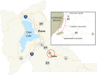
Size of this preview: 780 × 600 pixels. Other resolutions: 312 × 240 pixels | 2,600 × 2,000 pixels.
Original image (2,600 × 2,000 pixels, file size: 794 KB, MIME type: image/png)
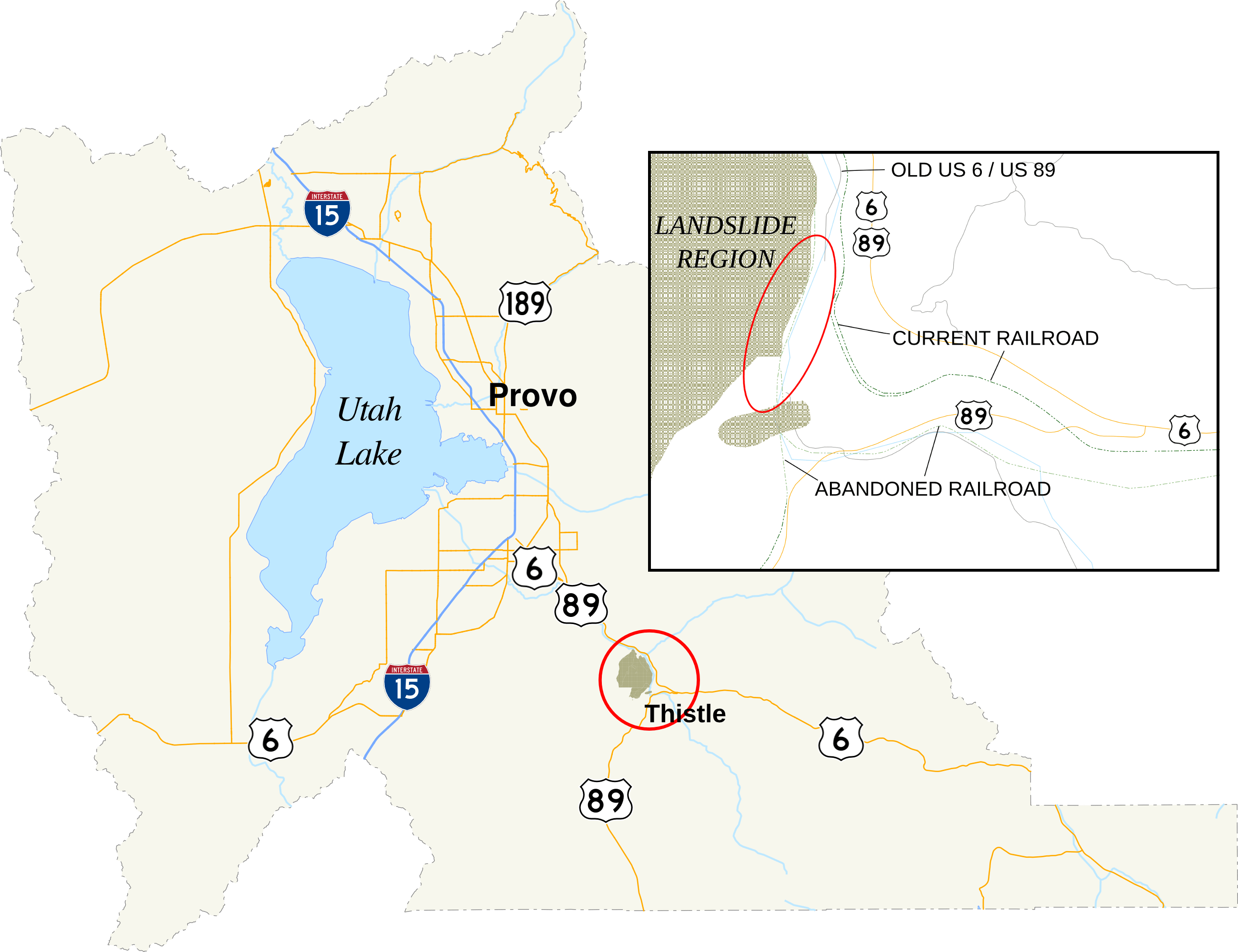
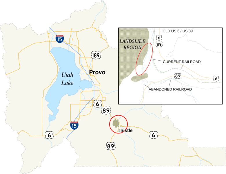
Description: A map of Utah County, Utah, showing the location of Thistle in the county. In the map is an inset of the region affected by the 1983 landslide. The red circle denotes the area enlarged in the inset. The red oval is the approximate location of the landslide dam.
Title: Thistle landslide
Credit: Utah State Geographic Information Database County shape Current roads Historic Current railroads Historic Water bodies courses Landslide data 1 2
Author: Fredddie. Created using Quantum GIS and inkscape, per standards set by the English language wikipedia's U.S. Roads Map Task Force.
Usage Terms: Public domain
License: Public domain
Attribution Required?: No
Image usage
The following page links to this image:

All content from Kiddle encyclopedia articles (including the article images and facts) can be freely used under Attribution-ShareAlike license, unless stated otherwise.