
Image: Titnore Lane - geograph.org.uk - 1333857
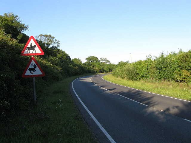
Description: Titnore Lane Marked on some maps as the A2700 but this information has been covered over on all the road signs in the vicinity. Titnore Lane begins at Goring Crossways and headed north to a junction with the A27 Arundel Road beyond the bushes on the curve. When the A27 was widened and a new junction with the A280 built in the early 1990s Titnore Lane was extended westwards to meet the roundabout on the southern side of the A280. The road is a notorious ratrun for those wishing to get in and out of the suburbs of western Worthing.
Title: Titnore Lane - geograph.org.uk - 1333857
Credit: From geograph.org.uk
Author: Simon Carey
Usage Terms: Creative Commons Attribution-Share Alike 2.0
License: CC BY-SA 2.0
License Link: https://creativecommons.org/licenses/by-sa/2.0
Attribution Required?: Yes
Image usage
The following page links to this image:
