
Image: Tornado Track in Tuscaloosa, Alabama
Size of this preview: 361 × 599 pixels. Other resolutions: 144 × 240 pixels | 3,868 × 6,420 pixels.
Original image (3,868 × 6,420 pixels, file size: 3.81 MB, MIME type: image/jpeg)
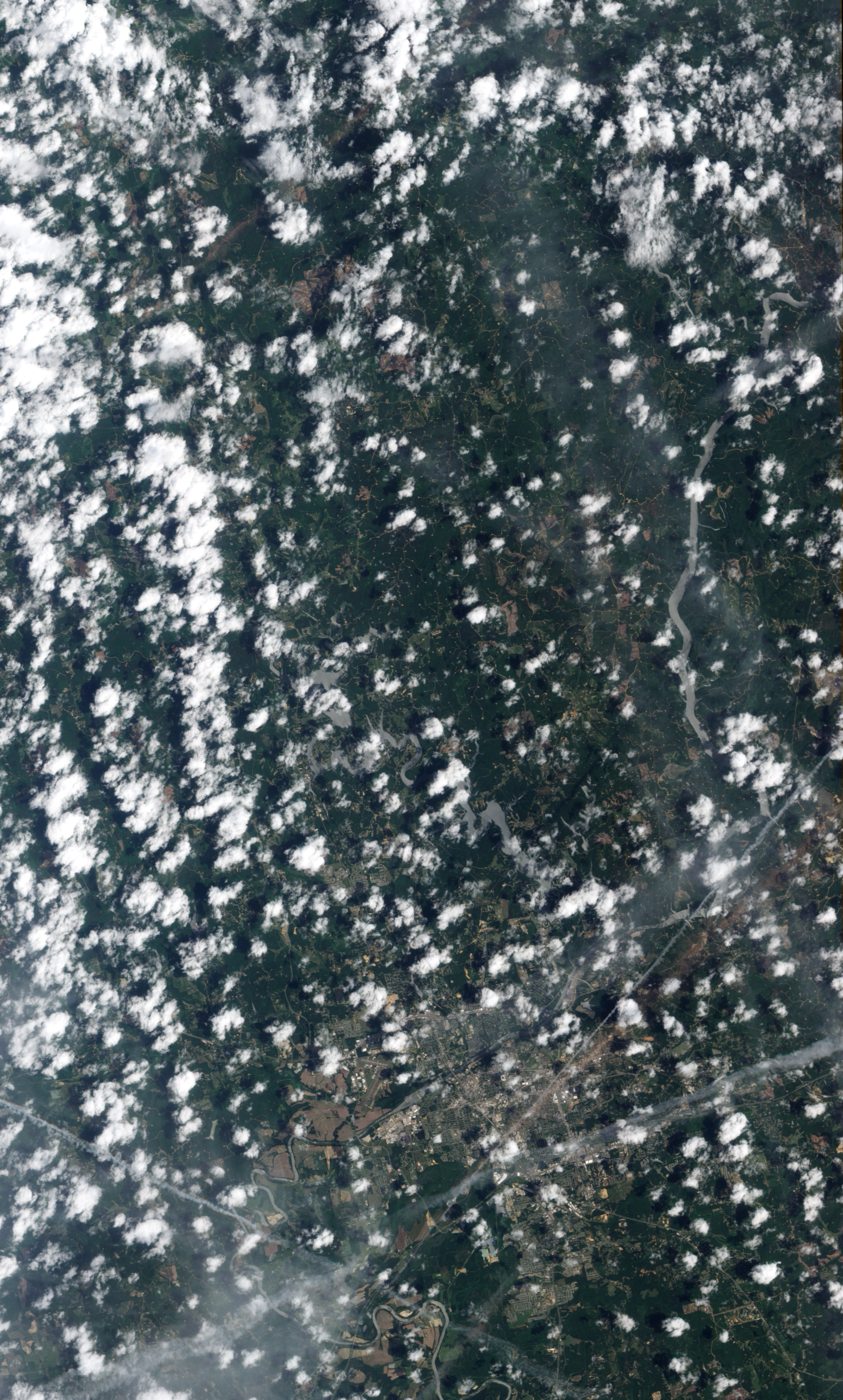
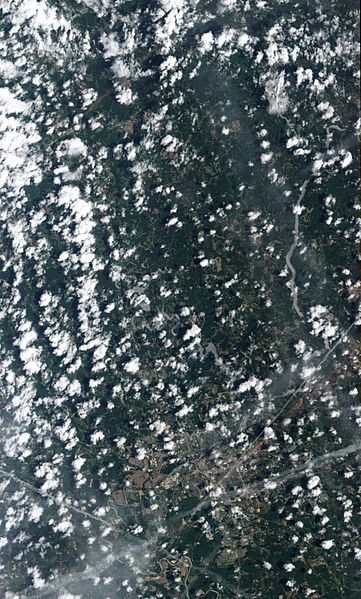
Description: Natural-colour image of a tornado's track through Tuscaloosa. The tan-toned, debris-filled path passes through the centre of town, affecting both commercial and residential properties. The track passes south of Bryant Denny Stadium and just north of University Mall. Running roughly parallel to the tornado track is a contrail from a plane.
Title: Tornado Track in Tuscaloosa, Alabama
Credit: NASA Earth Observatory
Author: Jesse Allen and Robert Simmon
Usage Terms: Public domain
License: Public domain
Attribution Required?: No
Image usage
There are no pages that link to this image.

All content from Kiddle encyclopedia articles (including the article images and facts) can be freely used under Attribution-ShareAlike license, unless stated otherwise.