
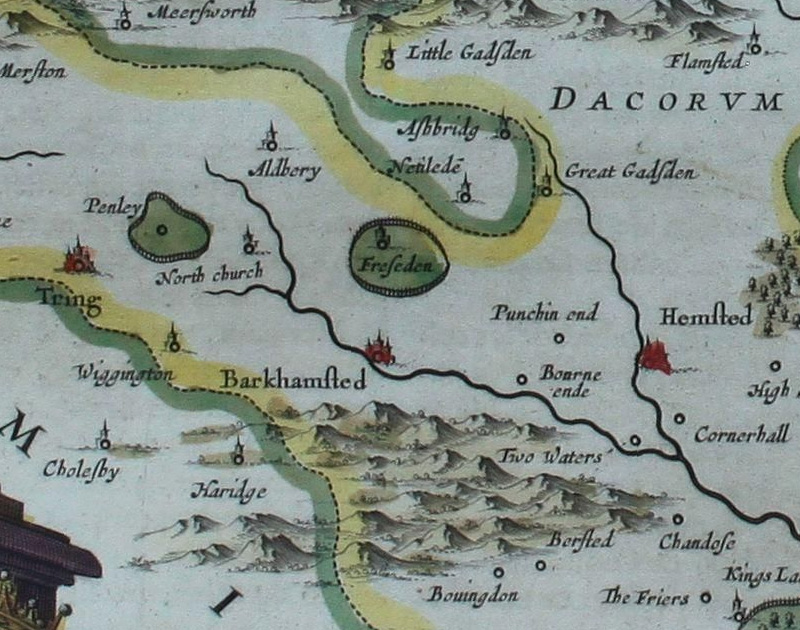
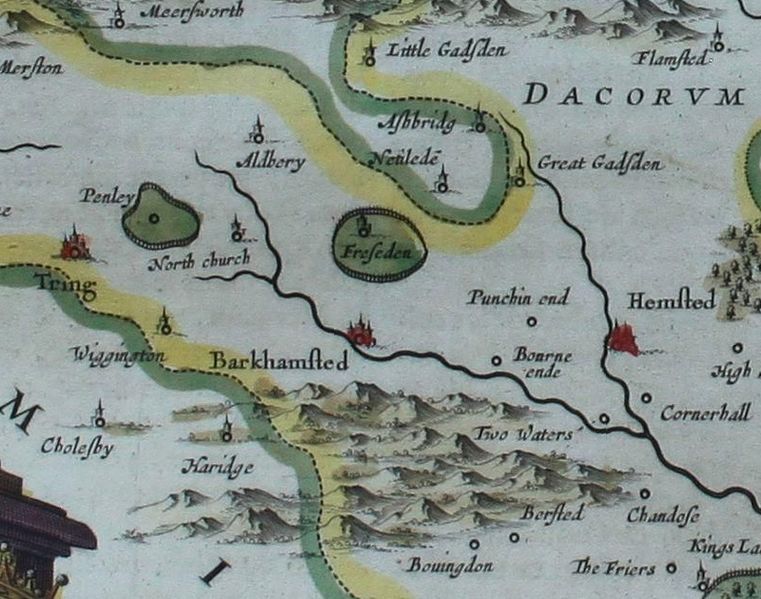
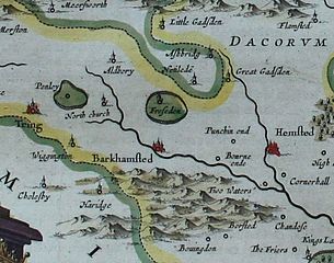
Image: Tring Barkhamsted map 1659
Size of this preview: 761 × 599 pixels. Other resolutions: 305 × 240 pixels | 800 × 630 pixels.
Original image (800 × 630 pixels, file size: 197 KB, MIME type: image/jpeg)
Description: Detail of the map Hertfordia comitatus, vernacule Hertfordshire (1659) showing the towns of Tring, Berkhamsted and Hemel Hempstead and surrounding villages
Title: Tring Barkhamsted map 1659
Credit: Cropped from File:"Hertfordia comitatus, vernacule Hertfordshire" (22073373849).jpg
Author: Joan Blaeu,1596-1673, imp.
Usage Terms: Creative Commons Attribution 2.0
License: CC BY 2.0
License Link: https://creativecommons.org/licenses/by/2.0
Attribution Required?: Yes
Image usage
The following page links to this image:

All content from Kiddle encyclopedia articles (including the article images and facts) can be freely used under Attribution-ShareAlike license, unless stated otherwise.