
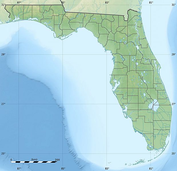
Image: USA Florida relief location map

Description: Blank physical map of the State of Florida, USA, for geo-location purpose, with counties boundaries.
Title: USA Florida relief location map
Credit: Own work Sources of data: NGDC Coastal Relief Model (public domain); Public domain data provided by the National Atlas of the United States of America.
Author: Eric Gaba (Sting - fr:Sting)
Permission: Attribution and Share-Alike required Any use of this map can be made as long as you credit me (Eric Gaba – Wikimedia Commons user: Sting) as the author and distribute the copies and derivative works under the same license(s) that the one(s) stated below. A message with a reply address would also be greatly appreciated.
Usage Terms: Creative Commons Attribution-Share Alike 3.0
License: CC BY-SA 3.0
License Link: http://creativecommons.org/licenses/by-sa/3.0
Attribution Required?: Yes
Image usage
More than 100 pages link to this image. The following list shows the first 100 page links to this image only. A full list is available.
- Alligator Reef Light
- Amelia Island
- Amelia Island Light
- American Shoal Light
- Anastasia Island
- Anclote Key
- Anna Maria Island
- Atsena Otie Key
- Ballast Key
- Banana Lake
- Basket Lake
- Big Coppitt Key
- Big Torch Key
- Biscayne Bay
- Blount Island
- Blue Cypress Lake
- Blue Lake (Sebring, Florida)
- Boca Chica Key
- Bonnet Lake
- Boot Key
- Cape Canaveral
- Cape Canaveral Light
- Cape Florida Light
- Cape San Blas Light
- Cape St. George Light
- Christina Lake (Florida)
- Clear Lake (Orlando, Florida)
- Clermont chain of lakes
- Counterfeit Lake
- Craig Key
- Crawl Key
- Crooked River Light
- Crystal Lake (Broward County, Florida)
- Crystal Lake (Davenport, Florida)
- Crystal Lake (Lakeland, Florida)
- Crystal Lake (south Winter Haven, Florida)
- Dog Island (Florida)
- East Rockland Key
- Estero Island
- Fat Deer Key
- Fiesta Key
- Galt Island (Florida)
- Gasparilla Island
- Geiger Key
- Grassy Key
- Hollywood, Florida
- Hutchinson Island (Florida)
- Jacksonville, Florida
- Jupiter Island
- Key Largo
- Knights Key
- Lake Butler (Polk County, Florida)
- Lake Center (Osceola County, Florida)
- Lake Charlotte (Florida)
- Lake George (Florida)
- Lake Howard (Winter Haven, Florida)
- Lake Iamonia
- Lake Lafayette
- Lake Manatee
- Lake Okeechobee
- Lake Poinsett (Florida)
- Lake Washington (Florida)
- Lake Weir
- Lignumvitae Key
- Lime Lake (Sarasota, Florida)
- Little Duck Key
- Little Torch Key
- Lois Key
- Long Key
- Long Point Key
- Lower Matecumbe Key
- Mar-a-Lago
- MetroWest (Orlando)
- Miami
- Middle Torch Key
- Missouri Key
- No Name Key
- North Hutchinson Island
- Ohio Key
- Orlando, Florida
- Orlando International Airport
- Page Field
- Park Key
- Pine Island (Lee County, Florida)
- Plantation Key
- Ramrod Key
- Rockland Key
- Saddlebunch Keys
- Scout Key
- Shark Key
- Singer Island
- Snead Island
- Southwest Florida International Airport
- St. Vincent Island (Florida)
- Sugarloaf Key
- Sugarloaf Mountain (Florida)
- Tallahassee, Florida
- Tampa, Florida
- Tampa Bay
- Upper Matecumbe Key
