
Image: USA North Carolina relief location map
Size of this preview: 800 × 485 pixels. Other resolutions: 320 × 194 pixels | 1,774 × 1,076 pixels.
Original image (1,774 × 1,076 pixels, file size: 696 KB, MIME type: image/jpeg)
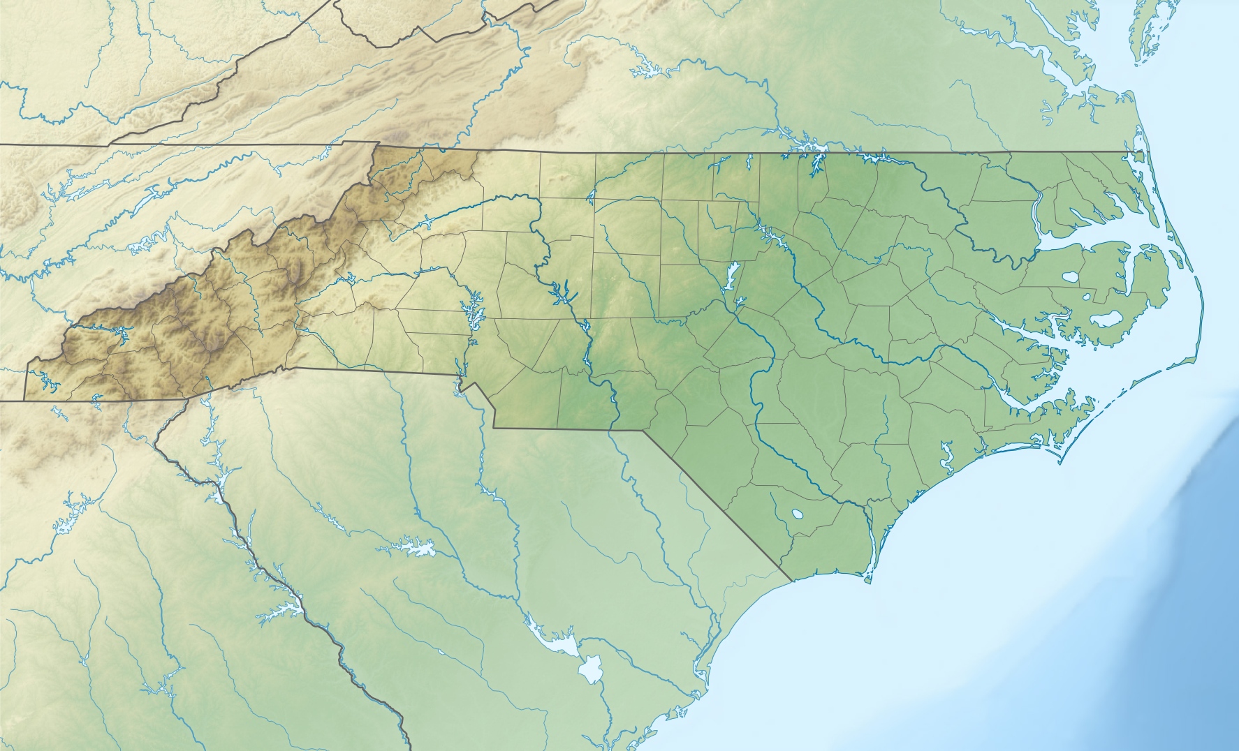
Description: Physical Location map of North Carolina, USA
Title: USA North Carolina relief location map
Credit: Own work Data from http://naturalearthdata.com/, Scale: 1:50 Mio SRTM3, AVHRR Land Cover (http://www.landcover.org) ETOPO1 (http://www.ngdc.noaa.gov/mgg/global/global.html)
Author: Alexrk2
Usage Terms: Creative Commons Attribution 3.0
License: CC BY 3.0
License Link: https://creativecommons.org/licenses/by/3.0
Attribution Required?: Yes
Image usage
More than 100 pages link to this image. The following list shows the first 100 page links to this image only. A full list is available.
- Abbotts Creek (North Carolina)
- Aberdeen Creek (Drowning Creek tributary)
- Adams Branch (Richardson Creek tributary)
- Adams Creek (Dutch Buffalo Creek tributary)
- Adams Mountain
- Afton Run
- Albert Mountain (North Carolina)
- Alligator River (North Carolina)
- Ararat River
- Avents Creek
- Back Branch (Deep River tributary)
- Back Creek (Caraway Creek tributary)
- Back Creek (Haw River tributary)
- Back Creek (Rocky River tributary)
- Badin Lake
- Bakers Creek (Cape Fear River tributary)
- Balsam Gap
- Bandeau Creek
- Barkers Branch (Lanes Creek tributary)
- Barnes Creek (Uwharrie River tributary)
- Bass Lake (Holly Springs, North Carolina)
- Bass Lake Dam
- Bath, North Carolina
- Bear's Paw
- Bear Creek (Deep River tributary)
- Bear Creek (Fisher River tributary)
- Beaucatcher Mountain
- Belews Lake
- Big Yellow Mountain
- Black Mountains (North Carolina)
- Bluerock Mountain (North Carolina)
- Brier Knob (Avery County, North Carolina)
- Buckhorn Reservoir
- Celo Knob
- Charlotte, North Carolina
- Charlotte Douglas International Airport
- Crossing Knob
- Deals Gap, North Carolina
- Doe Hill Mountain
- Eaglenest Mountain
- Elk Knob (Watauga County, North Carolina)
- Flattop Mountain (North Carolina)
- Fontana Lake
- Geography of North Carolina
- Hiwassee, North Carolina
- Hope Mills Dam
- Howard Knob
- Humpback Mountain (North Carolina)
- Jacksonville, North Carolina
- Kerr Lake
- Lake Adger
- Lake Gaston
- Lake James
- Lake Kristi
- Lake Lure (North Carolina)
- Lake Lynn (Cabarrus County, North Carolina)
- Lake Mattamuskeet
- Lake Michie
- Lake Norman
- Lake Phelps
- Lake Tillery
- Lake Toxaway
- Lake Waccamaw
- Lake Wylie
- Leland, North Carolina
- Little Yellow Mountain (North Carolina)
- Looking Glass Rock
- Max Patch
- McArthur Lake (Fort Bragg)
- Moore's Knob
- Mount Guyot (Great Smoky Mountains)
- Mount Mitchell
- Mountain Island Lake
- Nantahala Lake
- New Bern, North Carolina
- North Eaglenest Mountain
- Peak Mountain (North Carolina)
- Pilot Mountain (North Carolina)
- Pinehurst Resort
- Pixie Mountain
- Raleigh, North Carolina
- Randleman Lake
- Rich Mountain (Moses Cone Park, North Carolina)
- Rich Mountain (Watauga County, North Carolina)
- Rich Mountain Bald (Watauga County, North Carolina)
- Roan Mountain (Roan Highlands)
- Roanoke Colony
- Roanoke Island
- Saluda Mountains
- Singletary Lake
- Smithfield, North Carolina
- Snake Mountain (North Carolina – Tennessee)
- Soco Gap
- Soul City, North Carolina
- Spanish Oak Mountain
- Sugar Mountain (North Carolina)
- Table Rock (North Carolina)
- Three Top Mountain (North Carolina)
- Thunderhead Mountain
- Wilmington, North Carolina

All content from Kiddle encyclopedia articles (including the article images and facts) can be freely used under Attribution-ShareAlike license, unless stated otherwise.