
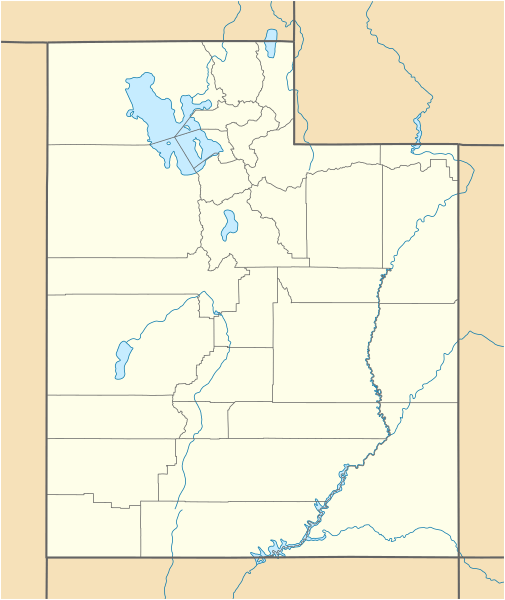
Image: USA Utah location map

Size of this PNG preview of this SVG file: 505 × 600 pixels. Other resolution: 202 × 240 pixels.
Original image (SVG file, nominally 868 × 1,031 pixels, file size: 175 KB)
Description: Location map of Utah, USA
Title: USA Utah location map
Credit: own work, using United States National Imagery and Mapping Agency data World Data Base II data U.S. Geological Survey (USGS) data
Author: NordNordWest
Usage Terms: Creative Commons Attribution 3.0
License: CC BY 3.0
License Link: http://creativecommons.org/licenses/by/3.0
Attribution Required?: Yes
Image usage
More than 100 pages link to this image. The following list shows the first 100 page links to this image only. A full list is available.
- Abajo Peak
- Adamsville, Utah
- Ajax, Utah
- Altamont, Utah
- Altonah, Utah
- Alunite, Utah
- American Fork, Utah
- Apple Valley, Utah
- Argyle, Utah
- Arinosa, Utah
- Aurora, Utah
- Axtell, Utah
- Bald Mountain (Uinta Range)
- Beaver, Utah
- Beaver Dam, Utah
- Beryl, Utah
- Bingham Canyon, Utah
- Birdseye, Utah
- Black Rock, Millard County, Utah
- Blacks Fork, Utah
- Bloomington, Utah
- Blue Creek, Utah
- Bonneville Salt Flats
- Border, Utah
- Bothwell, Utah
- Bridgeport, Utah
- Brighton Ski Resort
- Bryce Canyon National Park
- Burbank, Utah
- Burmester, Utah
- Burrville, Utah
- Caineville, Utah
- Callao, Utah
- Canyon Rim, Utah
- Castle Gate, Utah
- Castleton, Utah
- Cedar Breaks National Monument
- Cedar Creek, Utah
- Chester, Utah
- Cisco, Utah
- Clarion, Utah
- Coal City, Utah
- College Ward, Utah
- Collinston, Utah
- Colton, Utah
- Connellsville, Utah
- Cove Fort
- Croydon, Utah
- Deer Valley
- Deseret Peak
- Desert Springs, Utah
- Dewey, Utah
- Dover, Utah
- Dragon, Utah
- Duck Creek Village, Utah
- Duncan's Retreat, Utah
- Eagle City, Utah
- East Layton, Utah
- Elk Mountain, Utah
- Emigration Canyon, Utah
- EskDale, Utah
- Etna, Utah
- Farnsworth Peak
- Fillmore, Utah
- Fish Springs National Wildlife Refuge
- Flowell, Utah
- Flux, Utah
- Forest City, Utah
- Forest Dale Historic District
- Fort Cameron
- Fort Douglas
- Freedom, Utah
- Frisco, Utah
- Fruita, Utah
- Fruitland, Utah
- Fry Canyon, Utah
- Gandy, Utah
- Garrison, Utah
- Giles, Utah
- Goblin Valley State Park
- Gold Hill, Utah
- Golden Throne (mountain)
- Grafton, Utah
- Granger-Hunter, Utah
- Grass Creek, Utah
- Greendale, Utah
- Greenville, Utah
- Greenwich, Utah
- Grouse Creek, Utah
- Grover, Utah
- Gunlock, Utah
- Hailstone, Utah
- Hale, Utah
- Hamblin, Utah
- Hanna, Utah
- Hardup, Utah
- Harper, Utah
- Harper Ward, Utah
- Lake Powell
- Provo, Utah

All content from Kiddle encyclopedia articles (including the article images and facts) can be freely used under Attribution-ShareAlike license, unless stated otherwise.