
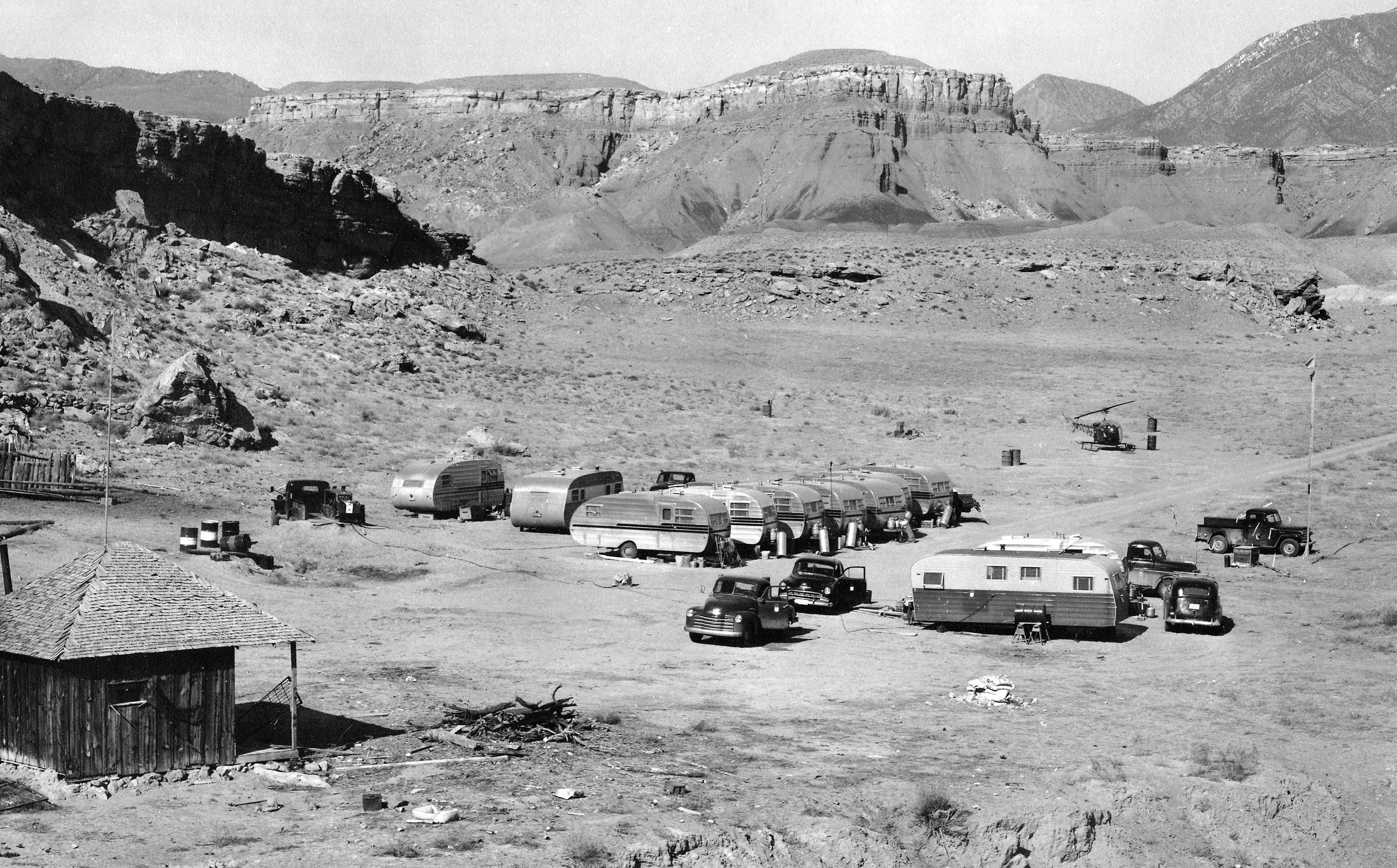
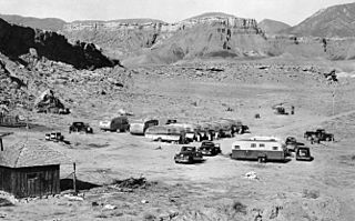
Image: USGS 1950s mapping field camp
Size of this preview: 800 × 497 pixels. Other resolutions: 320 × 199 pixels | 2,672 × 1,661 pixels.
Original image (2,672 × 1,661 pixels, file size: 3.5 MB, MIME type: image/jpeg)
Description: A typical USGS mapping field camp. Note the helicopter parked near the trailers. Helicopters were first used by the USGS for topographic mapping in Death Valley in 1948. (Description from USGS.)
Title: USGS 1950s mapping field camp
Credit: USGS Historical Photographs: Mapping Field Camp: http://online.wr.usgs.gov/outreach/historicPhotos/enlarged/mapping_camp_1950.html
Author: US Geological Survey
Usage Terms: Public domain
License: Public domain
Attribution Required?: No
Image usage
The following page links to this image:

All content from Kiddle encyclopedia articles (including the article images and facts) can be freely used under Attribution-ShareAlike license, unless stated otherwise.