
Image: USGS Toledo Strip Topo
No higher resolution available.
USGS_Toledo_Strip_Topo.jpg (548 × 171 pixels, file size: 37 KB, MIME type: image/jpeg)
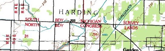
Description: USGS Topographical map of the Michigan/Toledo boundary, as determined by the en:1800s en:Michigan Survey.
Title: USGS Toledo Strip Topo
Usage Terms: Public domain
License: Public domain
Attribution Required?: No
Image usage
The following page links to this image:

All content from Kiddle encyclopedia articles (including the article images and facts) can be freely used under Attribution-ShareAlike license, unless stated otherwise.