
Image: US Route 52 Lafayette

Size of this preview: 800 × 424 pixels. Other resolutions: 320 × 169 pixels | 1,700 × 900 pixels.
Original image (1,700 × 900 pixels, file size: 2.51 MB, MIME type: image/png)
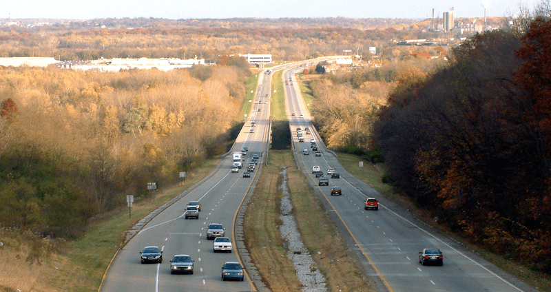
Description: U.S. Route 52 in 2007, crossing the Wabash River between the cities of Lafayette and West Lafayette in Tippecanoe County, Indiana. This photo, looking east, was taken from the overpass at the north end of State Road 443 (now Happy Hollow Road).Highway 52 was rerouted in 2013 to follow a different path through the community, so the pictured stretch of road is now known simply as Sagamore Parkway.
Title: US Route 52 Lafayette
Credit: Own work (Own photo)
Author: Huw Williams (Huwmanbeing)
Permission: I release this photo into the public domain
Usage Terms: Public domain
License: Public domain
Attribution Required?: No
Image usage
The following 3 pages link to this image:

All content from Kiddle encyclopedia articles (including the article images and facts) can be freely used under Attribution-ShareAlike license, unless stated otherwise.