
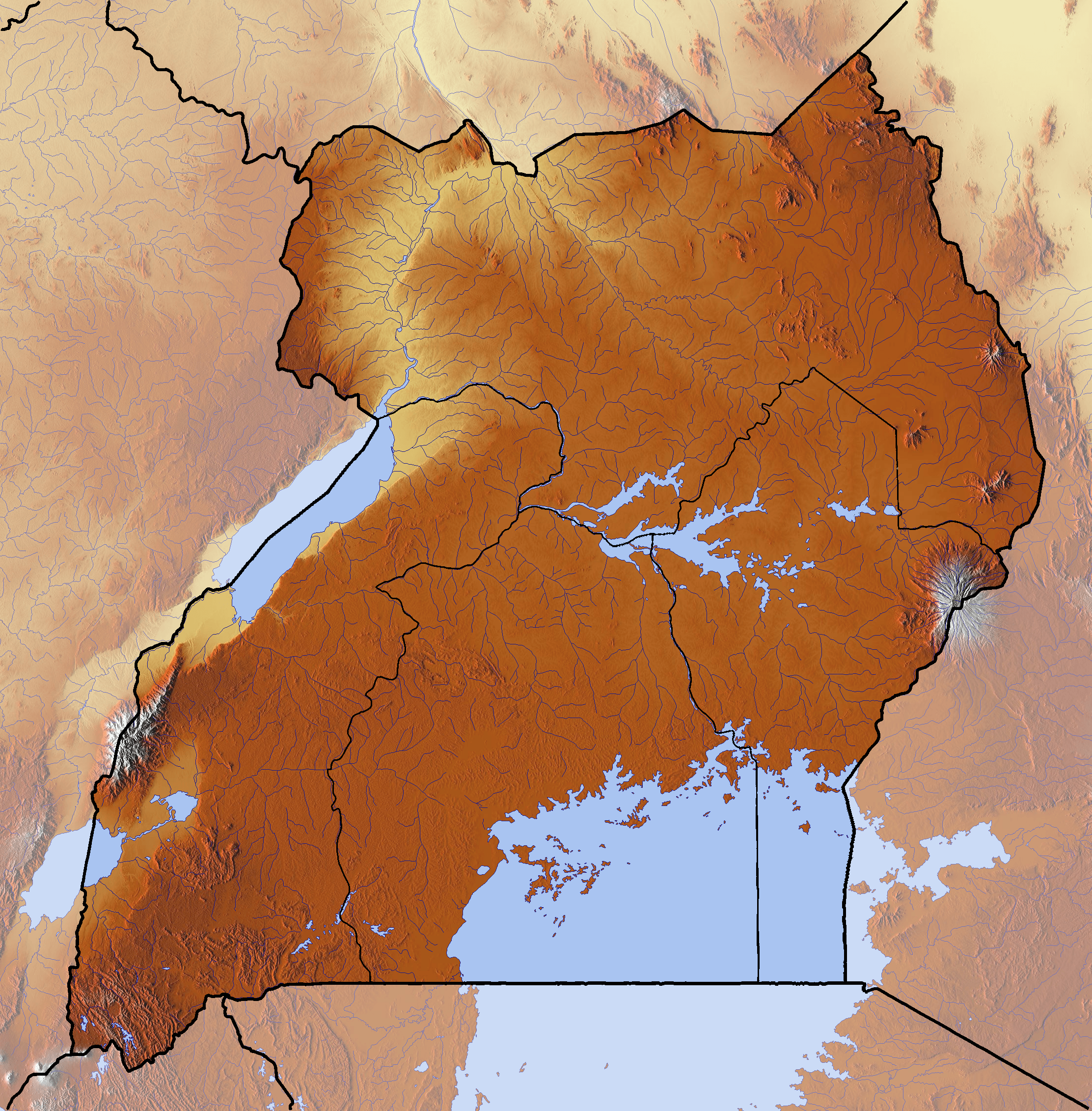
Image: Uganda location map Topographic
Size of this preview: 589 × 599 pixels. Other resolutions: 236 × 240 pixels | 2,224 × 2,262 pixels.
Original image (2,224 × 2,262 pixels, file size: 6.6 MB, MIME type: image/png)
Description: Location map of Uganda Equirectangular projection. Geographic limits of the map:
Title: Uganda location map Topographic
Credit: Own work backgroung : http://www.maps-for-free.com boundaries : File:Uganda location map.svg by NordNordWest
Author: Dr Brains
Usage Terms: GNU Free Documentation License 1.2
License: GFDL 1.2
License Link: http://www.gnu.org/licenses/old-licenses/fdl-1.2.html
Attribution Required?: Yes
Image usage
The following page links to this image:

All content from Kiddle encyclopedia articles (including the article images and facts) can be freely used under Attribution-ShareAlike license, unless stated otherwise.