
Image: United Kingdom relief location map
Size of this preview: 388 × 600 pixels. Other resolutions: 155 × 240 pixels | 1,348 × 2,083 pixels.
Original image (1,348 × 2,083 pixels, file size: 831 KB, MIME type: image/jpeg)
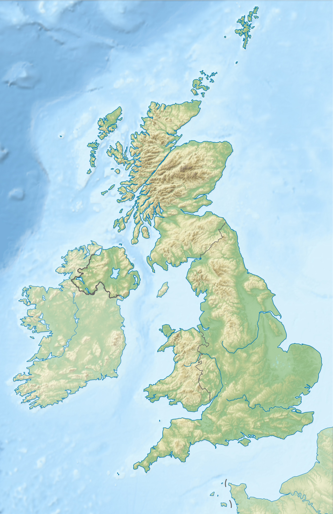
Description: Location map of the United Kingdom
Title: United Kingdom relief location map
Credit: own work, using SRTM Data, File:United Kingdom location map.svg by NordNordWest
Author: Alexrk2
Usage Terms: Creative Commons Attribution-Share Alike 3.0
License: CC BY-SA 3.0
License Link: https://creativecommons.org/licenses/by-sa/3.0
Attribution Required?: Yes
Image usage
The following 62 pages link to this image:
- Aberdeen
- Beinn Fhionnlaidh (Mullardoch)
- Beinn a' Bhathaich Àrd
- Benbradagh
- Birmingham
- Bomb Crater Pond (Walthamstow)
- Bontnewydd Palaeolithic site
- Bournemouth
- Bradford
- Brighton
- Bristol
- Cambridge
- Cardiff
- Cathole Cave
- Clapton Pond
- Coventry
- Coygan Cave
- Croxall Lakes
- Derby
- Doncaster
- Edinburgh
- Exeter
- Glasgow
- Ipswich
- John Paul Jones Cottage Museum
- Kendrick's Cave
- Kingston upon Hull
- La Cotte de St Brelade
- Leicester
- Lincoln, England
- Loch Mhòr
- Loch Vaa
- London
- Long Hole Cave
- Malone Golf Club
- Meall Fuar-mhonaidh
- Milton Loch
- Moel Siabod
- Newport, Wales
- Norwich
- Oldbury rock shelters
- Oxford
- Perth, Scotland
- Plymouth
- Portbraddon Cave
- Portsmouth
- Sand, Applecross
- Sawel Mountain
- Sheffield
- Slieve Donard
- Slieve Gullion
- Smalls Lighthouse
- Snowdon
- Southampton
- Stoke-on-Trent
- Swansea
- Trostan
- Windermere
- Woodbridge, Suffolk
- Worthing
- York
- Template:Location map United Kingdom

All content from Kiddle encyclopedia articles (including the article images and facts) can be freely used under Attribution-ShareAlike license, unless stated otherwise.