
Image: Ward Map-06062011Plan MaysvilleWards
Size of this preview: 800 × 518 pixels. Other resolutions: 320 × 207 pixels | 3,400 × 2,200 pixels.
Original image (3,400 × 2,200 pixels, file size: 1.56 MB, MIME type: image/jpeg)
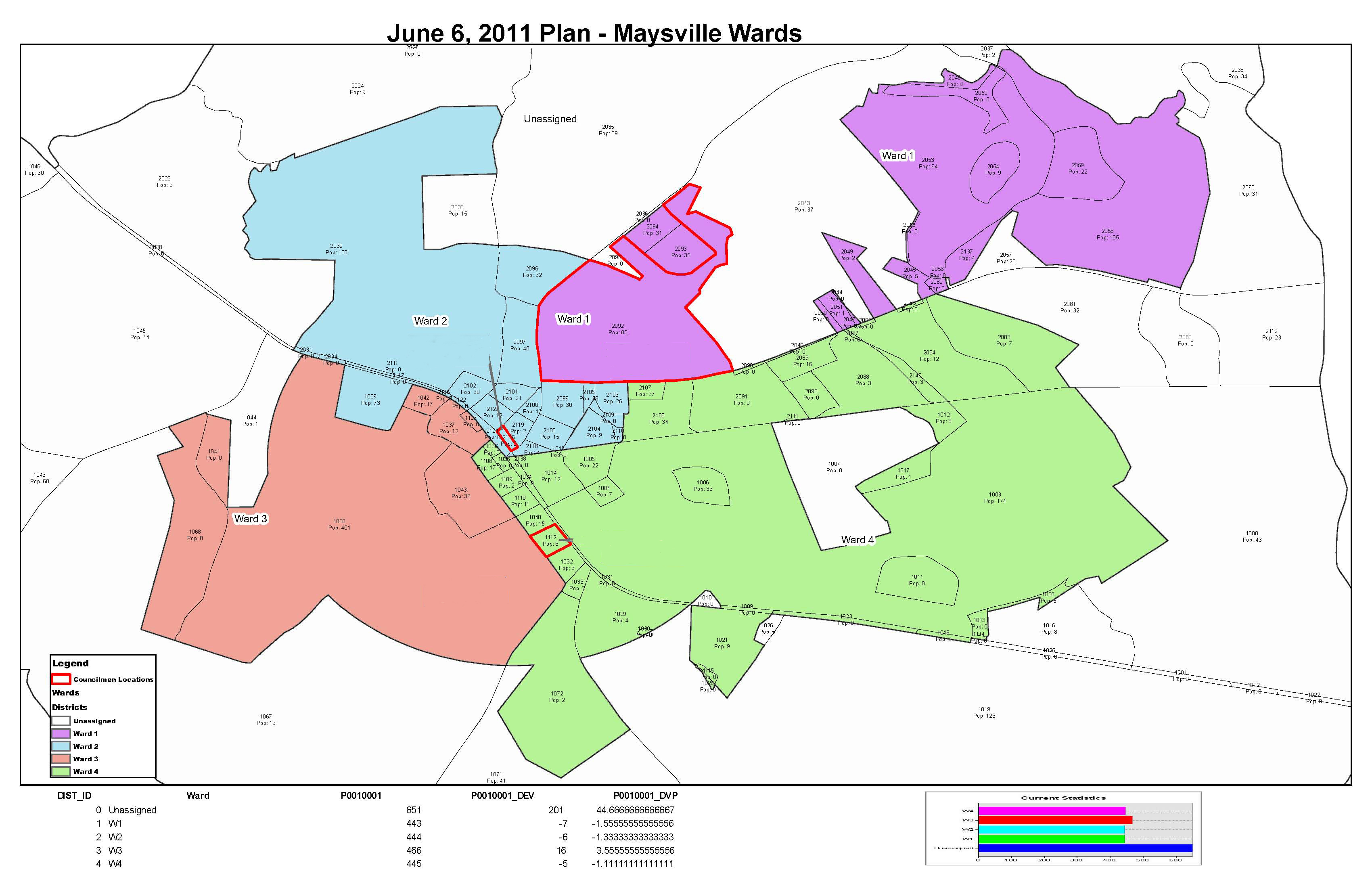
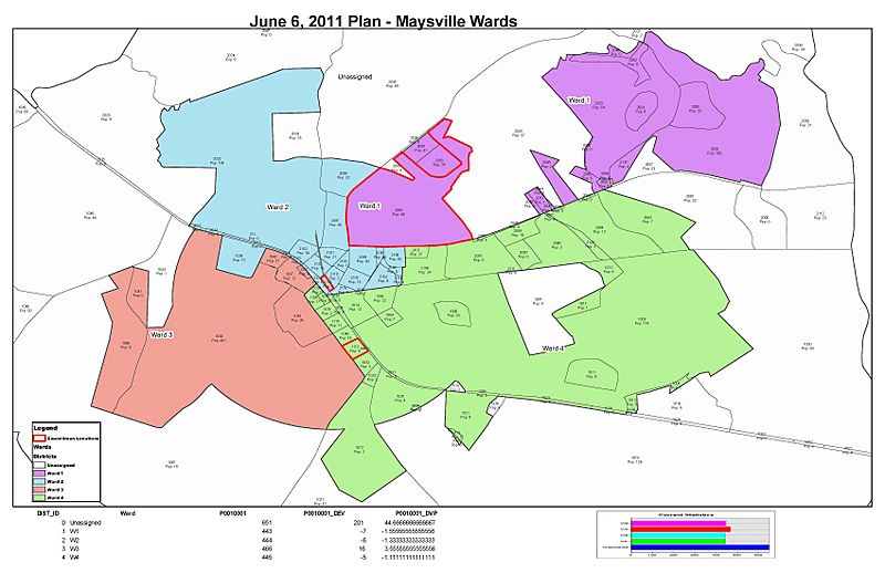
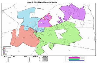
Description: Map depicting each ward in Maysville.
Title: Ward Map-06062011Plan MaysvilleWards
Credit: http://cityofmaysvillega.org/images/Ward%20Map-06062011Plan_MaysvilleWards.jpg
Author: City of Maysville Georgia
Usage Terms: Public domain
License: Public domain
Attribution Required?: No
Image usage
The following page links to this image:

All content from Kiddle encyclopedia articles (including the article images and facts) can be freely used under Attribution-ShareAlike license, unless stated otherwise.