
Image: Warsaw WMA Area Wiki Version
Size of this preview: 800 × 544 pixels. Other resolutions: 320 × 218 pixels | 4,650 × 3,161 pixels.
Original image (4,650 × 3,161 pixels, file size: 4.52 MB, MIME type: image/jpeg)
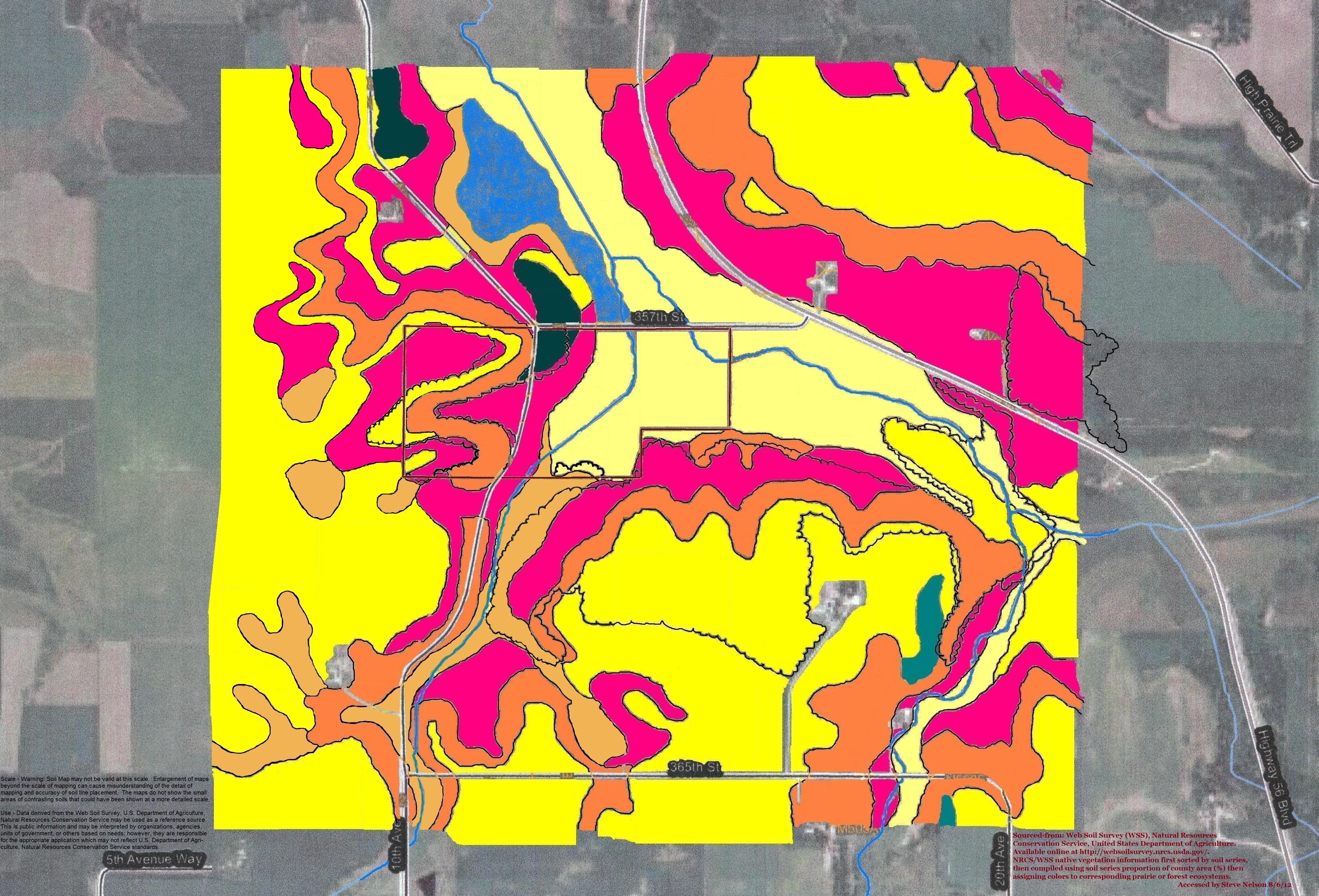
Description: Colored map shows area around Warsaw State Wildlife Management Area (WMA), north of Wangs and east of Dennison, in Goodhue County, Minnesota. Most of this area is prairie ecosystems of savanna and prairie.
Title: Warsaw WMA Area Wiki Version
Credit: Own work
Author: Wood Geek
Usage Terms: Creative Commons Attribution-Share Alike 4.0
License: CC BY-SA 4.0
License Link: http://creativecommons.org/licenses/by-sa/4.0
Attribution Required?: Yes
Image usage
The following page links to this image:

All content from Kiddle encyclopedia articles (including the article images and facts) can be freely used under Attribution-ShareAlike license, unless stated otherwise.