
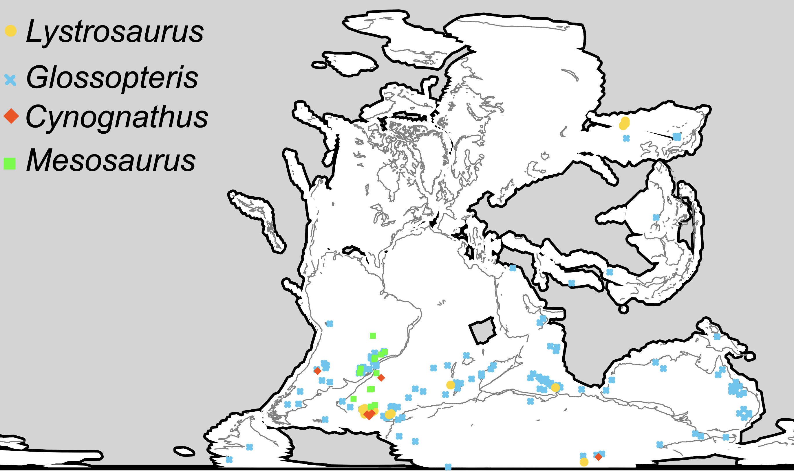
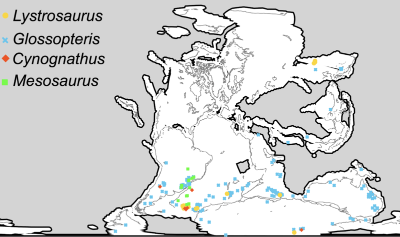
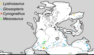
Image: Wegener fossils-mapped
Size of this preview: 800 × 475 pixels. Other resolutions: 320 × 190 pixels | 2,742 × 1,628 pixels.
Original image (2,742 × 1,628 pixels, file size: 656 KB, MIME type: image/png)
Description: Distribution of four Permian and Triassic fossil groups used as biogeographic evidence for continental drift, and land bridging, and forms the basis of the popular schematic that is often attributed to Wegener.
Title: Wegener fossils-mapped
Credit: Own work
Author: Trewick
Usage Terms: Creative Commons Attribution-Share Alike 4.0
License: CC BY-SA 4.0
License Link: https://creativecommons.org/licenses/by-sa/4.0
Attribution Required?: Yes
Image usage
The following 2 pages link to this image:

All content from Kiddle encyclopedia articles (including the article images and facts) can be freely used under Attribution-ShareAlike license, unless stated otherwise.