
Image: West Bank and Gaza Strip location map

Size of this PNG preview of this SVG file: 520 × 599 pixels. Other resolution: 208 × 240 pixels.
Original image (SVG file, nominally 639 × 736 pixels, file size: 98 KB)
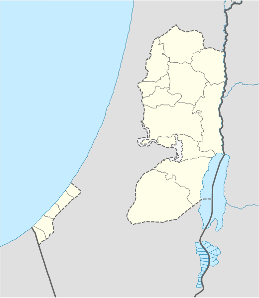
Description: Location map of the Palestinian territories (West Bank and Gaza Strip)
Title: West Bank and Gaza Strip location map
Credit: Own work using: United States National Imagery and Mapping Agency data World Data Base II data
Author: NordNordWest
Usage Terms: Creative Commons Attribution-Share Alike 3.0
License: CC BY-SA 3.0
License Link: http://creativecommons.org/licenses/by-sa/3.0
Attribution Required?: Yes
Image usage
The following 2 pages link to this image:

All content from Kiddle encyclopedia articles (including the article images and facts) can be freely used under Attribution-ShareAlike license, unless stated otherwise.