
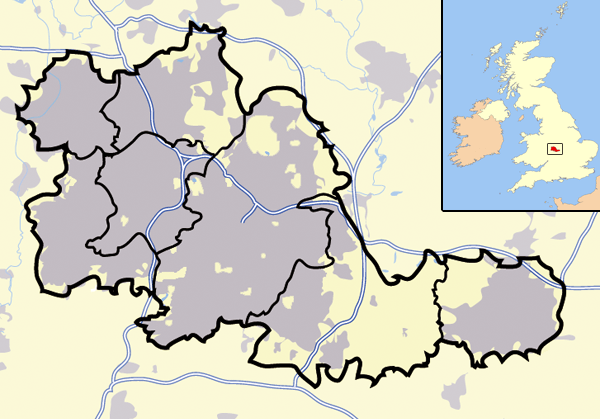
Image: West Midlands outline map with UK
No higher resolution available.
West_Midlands_outline_map_with_UK.png (600 × 419 pixels, file size: 253 KB, MIME type: image/png)
Description: Map of the West Midlands county; urban areas are in grey, county and borough boundaries in black, water in light-blue, motorways in deep-blue with white stripe. Includes mini-map of the United Kingdom, with the West Midland's position for context.
Title: West Midlands outline map with UK
Credit: Transferred from en.wikipedia to Commons.
Author: Jhamez84 at English Wikipedia
Usage Terms: Public domain
License: Public domain
Attribution Required?: No
Image usage
The following 2 pages link to this image:

All content from Kiddle encyclopedia articles (including the article images and facts) can be freely used under Attribution-ShareAlike license, unless stated otherwise.