
Image: West Newton Land Use Map 2021
Size of this preview: 767 × 600 pixels. Other resolutions: 307 × 240 pixels | 1,536 × 1,201 pixels.
Original image (1,536 × 1,201 pixels, file size: 341 KB, MIME type: image/jpeg)
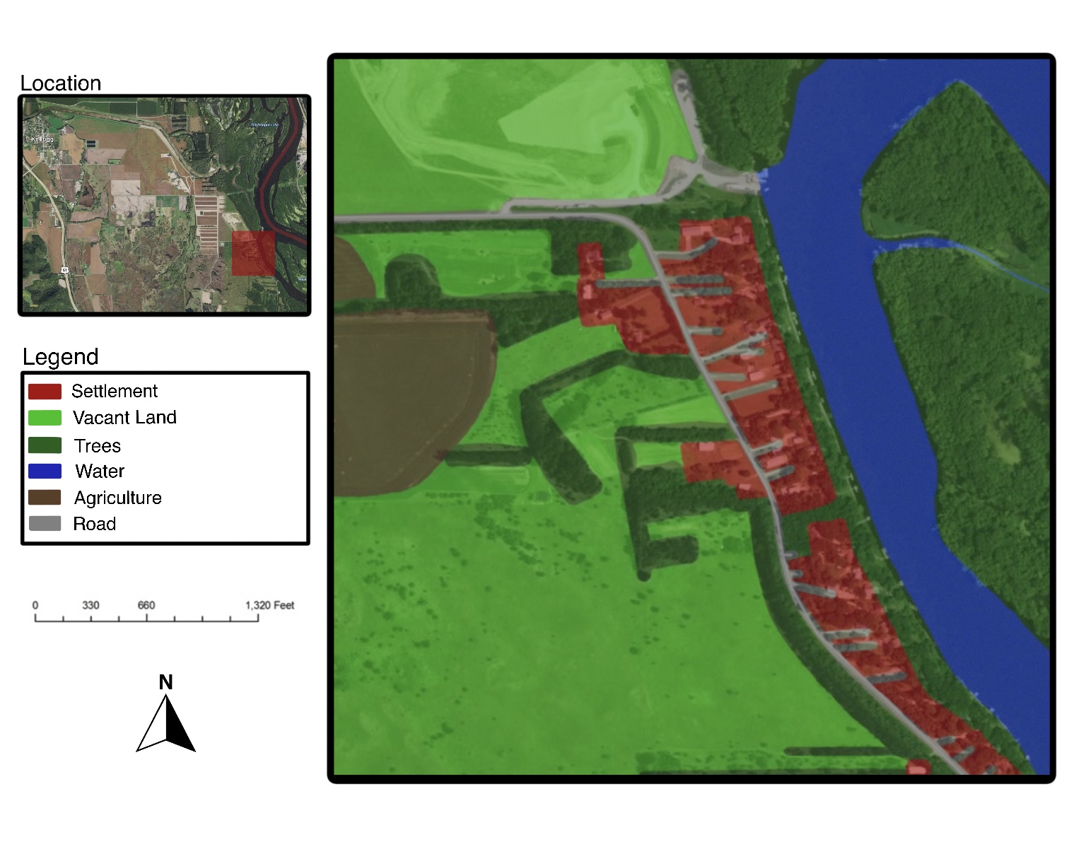
Description: The land use map of West Newton in southeast Minnesota along the Mississippi River shows the land use which includes agriculture, roads, settlement, waterway, trees, and vacant land.
Title: West Newton Land Use Map 2021
Credit: Own work
Author: L0y00002
Usage Terms: Creative Commons Attribution-Share Alike 4.0
License: CC BY-SA 4.0
License Link: https://creativecommons.org/licenses/by-sa/4.0
Attribution Required?: Yes
Image usage
The following page links to this image:

All content from Kiddle encyclopedia articles (including the article images and facts) can be freely used under Attribution-ShareAlike license, unless stated otherwise.