
Image: West Sacramento levee road now open (16883475616)
Size of this preview: 800 × 533 pixels. Other resolutions: 320 × 213 pixels | 5,616 × 3,744 pixels.
Original image (5,616 × 3,744 pixels, file size: 11.14 MB, MIME type: image/jpeg)
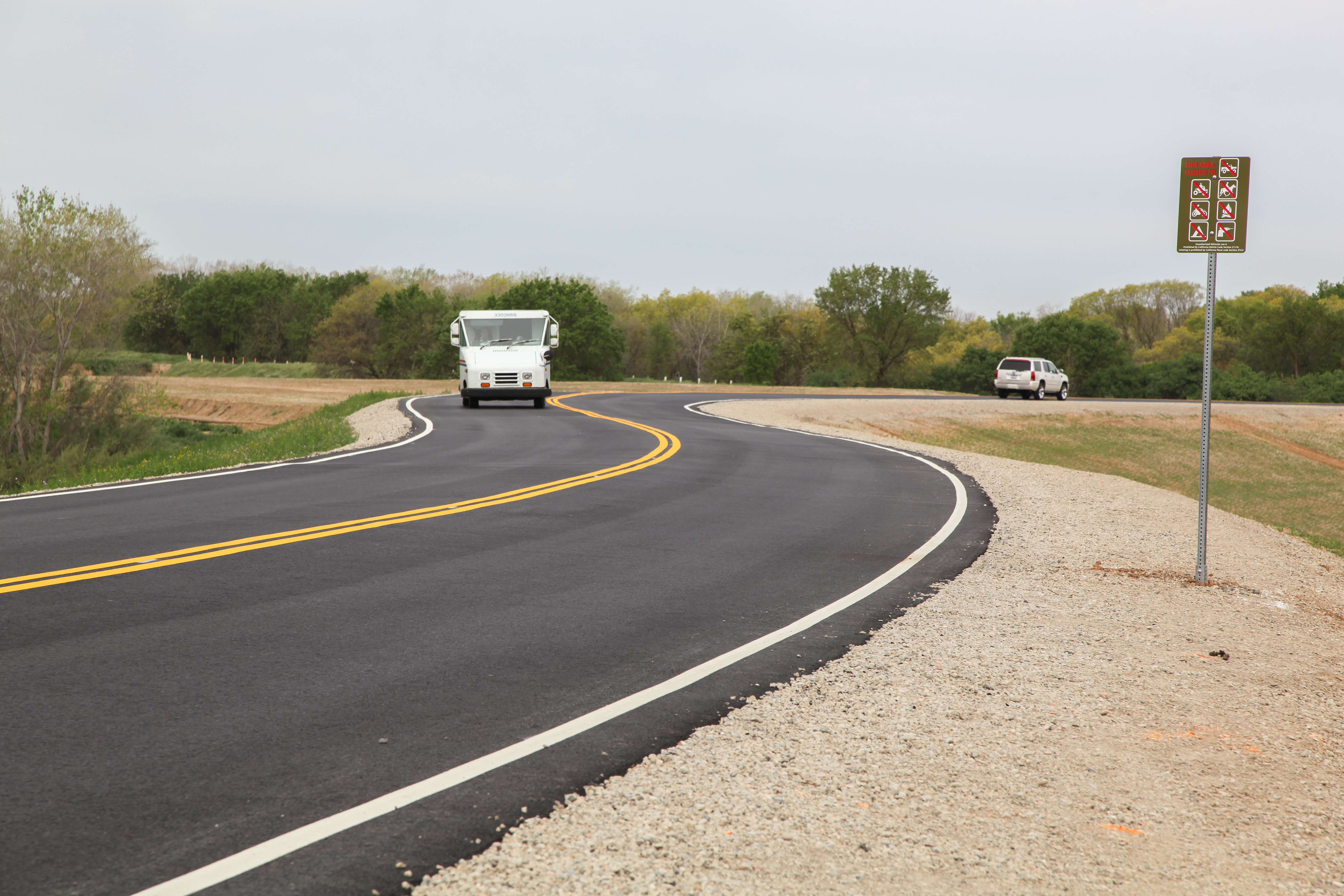
Description: A northern view March 20, 2015, of the U.S. Army Corps of Engineers Sacramento District’s completed setback levee, now functioning as South River Road in West Sacramento California. The work is part of the Sacramento River Bank Protection Project, a joint effort between the Corps and the California Central Valley Flood Protection Board to repair riverbank erosion along the Sacramento River and its tributaries. (U.S. Army photo by Todd Plain/Released)
Title: West Sacramento levee road now open (16883475616)
Credit: West Sacramento levee road now open
Author: U.S. Army Corps of Engineers Sacramento District
Usage Terms: Public domain
License: Public domain
Attribution Required?: No
Image usage
The following page links to this image:

All content from Kiddle encyclopedia articles (including the article images and facts) can be freely used under Attribution-ShareAlike license, unless stated otherwise.
.jpg)