
Image: West of Fairbanks - aerial view - P1040587
Size of this preview: 800 × 600 pixels. Other resolutions: 320 × 240 pixels | 2,048 × 1,536 pixels.
Original image (2,048 × 1,536 pixels, file size: 1.4 MB, MIME type: image/jpeg)
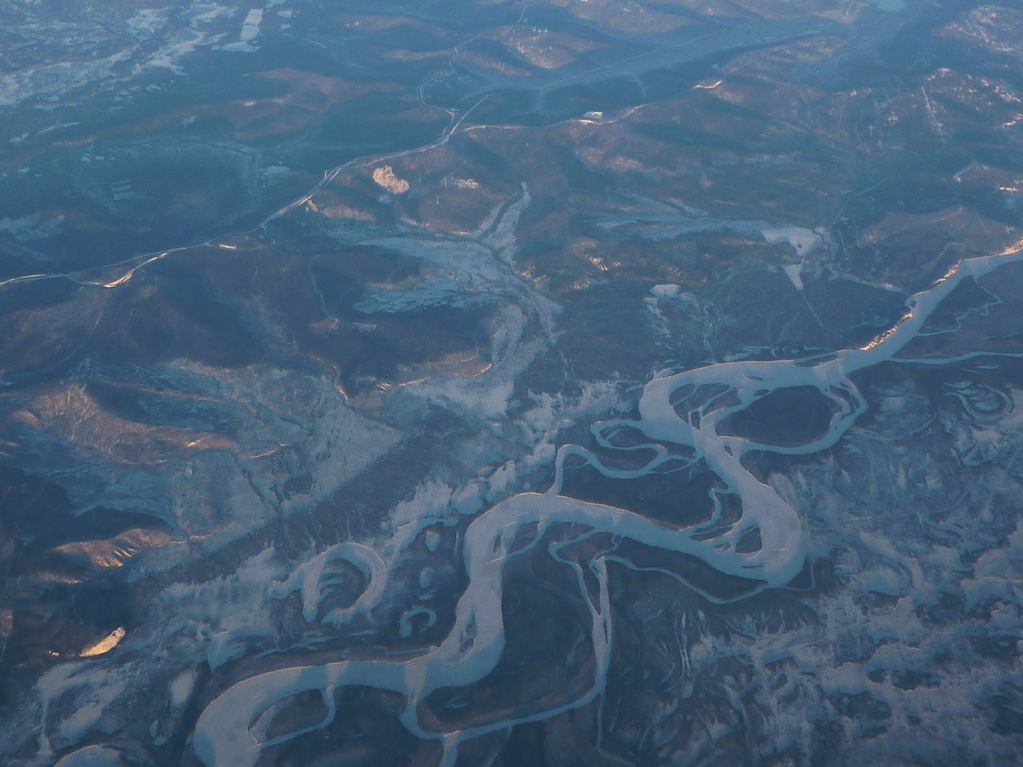
Description: Aerial view of the Tanana River Valley about 10 miles west of Fairbanks Airport. Seen from a non-stop AA flight Chicago-Beijing. Can be matched to Google Maps sat view easily.
Title: West of Fairbanks - aerial view - P1040587
Credit: Own work
Author: Vmenkov
Usage Terms: Creative Commons Attribution-Share Alike 3.0
License: CC BY-SA 3.0
License Link: https://creativecommons.org/licenses/by-sa/3.0
Attribution Required?: Yes
Image usage
The following page links to this image:

All content from Kiddle encyclopedia articles (including the article images and facts) can be freely used under Attribution-ShareAlike license, unless stated otherwise.