
Image: Wolf-River-swamp-North-Mississippi
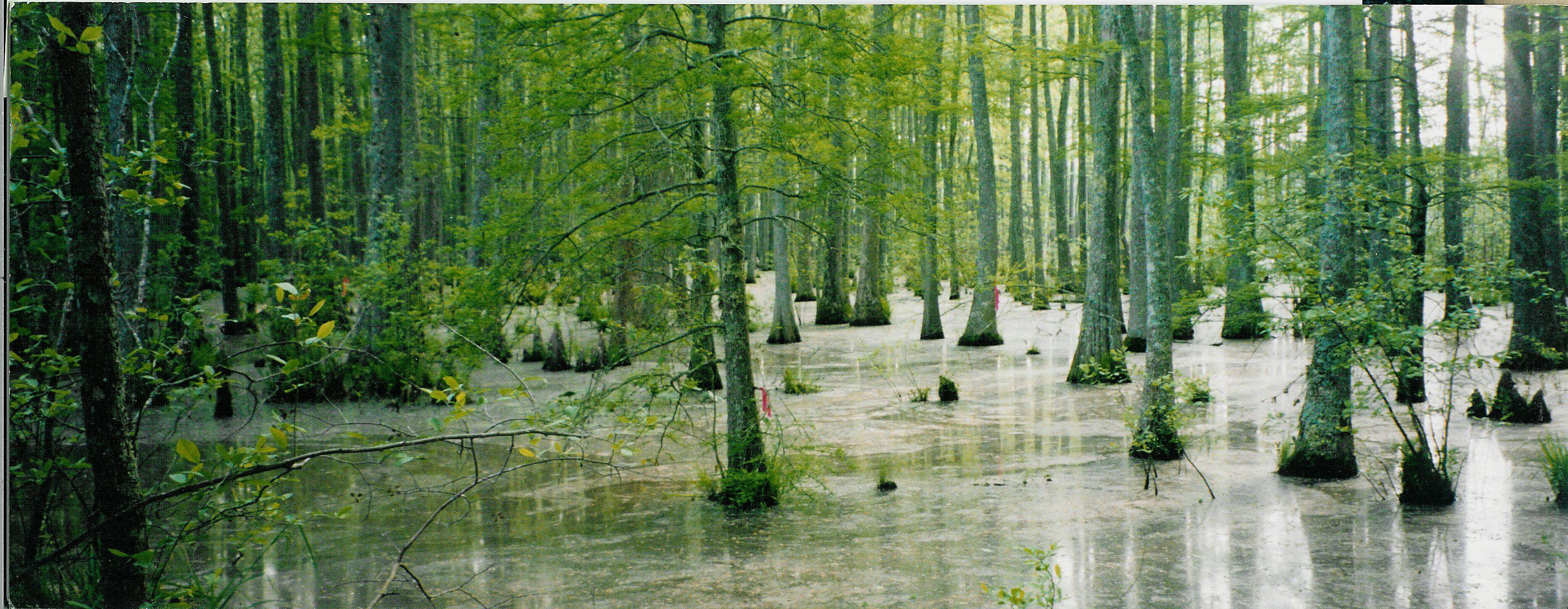
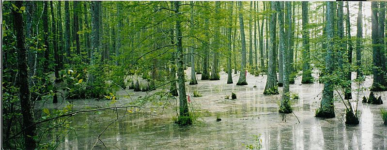
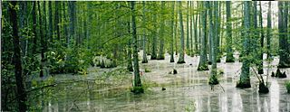
Description: Bottomland hardwood swamp at the confluence of Tubby Creek and the Wolf River in the Holly Springs National Forest near Ashland, Mississippi. The red ribbons [visible in the center of the image] were used for navigation purposes by members of the Wolf River Conservancy in completing the first-ever full descent of the Wolf River in 1998. At the time, this location was considered to be the river's head of navigation, but the canoers had to first discover a way to navigate from the put-in to the actual river channel, located approximately 200 meters to the south. The resulting "path" was marked with the engineer's tape. From this point, the Wolf River flows alternately west and north into West Tennessee, joining the Mississippi River in downtown Memphis.
Title: Wolf-River-swamp-North-Mississippi
Credit: Own work
Author: Gary Bridgman
Usage Terms: Creative Commons Attribution-Share Alike 3.0
License: CC-BY-SA-3.0
License Link: http://creativecommons.org/licenses/by-sa/3.0/
Attribution Required?: Yes
Image usage
The following 4 pages link to this image:
