
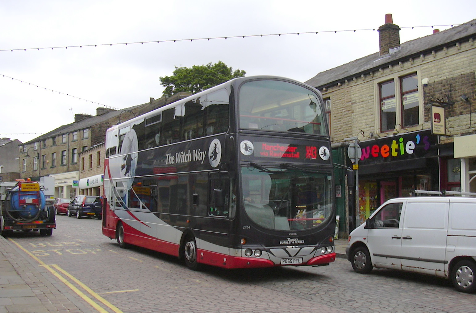
Image: X43 "The Witch Way" Bank Street, Rawtenstall, Lancashire - geograph.org.uk - 2528620
Description: X43 "The Witch Way" Bank Street, Rawtenstall, Lancashire, Data from Geograph: Description: SD8122 :: X43 "The Witch Way" Bank Street, Rawtenstall, Lancashire, near to Rawtenstall, Lancashire, Great Britain ICBM: 53.702372493833, -2.285187356866 Location: (about 1 km from) near to Rawtenstall, Lancashire, Great Britain.
Title: X43 "The Witch Way" Bank Street, Rawtenstall, Lancashire - geograph.org.uk - 2528620
Credit: From geograph.org.uk; transferred by User:Ultra7 using geograph_org2commons.
Author: robert wade
Permission: Creative Commons Attribution Share-alike license 2.0
Usage Terms: Creative Commons Attribution-Share Alike 2.0
License: CC BY-SA 2.0
License Link: https://creativecommons.org/licenses/by-sa/2.0
Attribution Required?: Yes
Image usage
The following page links to this image:
