
Image: Yuma arizona map
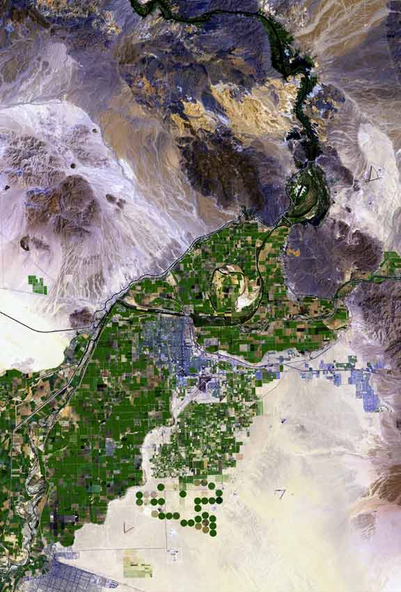
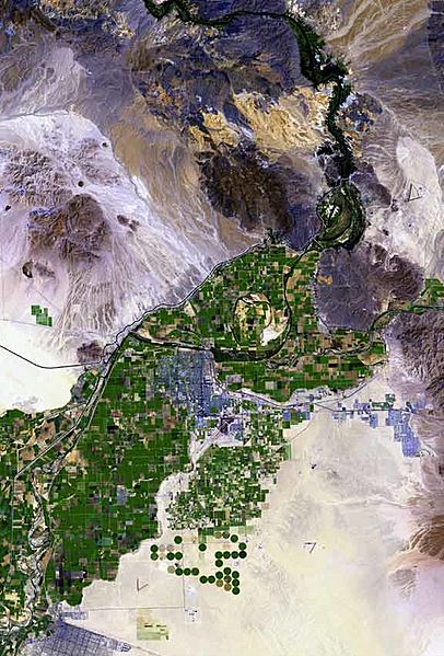
Description: The raw satellite imagery shown in these images was obtained from NASA and/or the US Geological Survey. Post-processing and production by http://www.terraprints.com The en:Colorado River is the border between California, (top, and left), and Arizona, (bottom, and right). The en:Yuma Desert is shown quite prominently, south of Yuma, and the Fortuna Foothills, at the west of the en:Gila Mountains (Yuma County). The Yuma Desert is at the northwest of the Picacho Volcanic field complex, and the great: Gran Desierto de Altar, of north and northwest, Sonora state Mexico. (Note the en:Alluvial fans, especially around the Cargo Muchacho Mountains of California, but throughout the photo.)
Title: Yuma arizona map
Credit: http://www.terraprints.com
Author: http://www.terraprints.com
Usage Terms: Creative Commons Attribution 2.5
License: CC BY 2.5
License Link: http://creativecommons.org/licenses/by/2.5
Attribution Required?: Yes
Image usage
The following 5 pages link to this image:
