Laquey, Missouri facts for kids
[1] Zip Code:65534
Area Code: 573
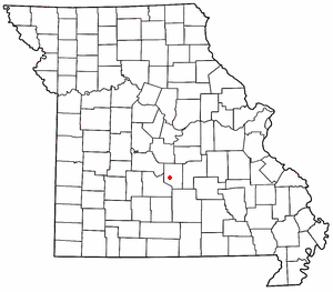
Meta (pronounced "Lake-way") is an unincorporated community in Pulaski County, Missouri, United States.
The community is on Missouri Route P approximately one mile south of I-44. It is about seven miles southwest of Waynesville and five miles west of the northwest corner of Fort Leonard Wood. The Laquey school is approximately one half mile southwest along Missouri Route A.
A post office called Laquey has been in operation since 1899. The community was named for an area resident, Joseph John Alexander LaQuey. J.J.A. LaQuey was born in Kentucky in 1800, and settled in the Liberty Township area of Pulaski County. In 1875, J.J.A. was appointed the first Post Master of Bellefonte, in Liberty Township, near current day Laquey. During the Civil War, Company G. of the 8th Missouri State Militia Cavalry based their camp in the area. The nearby Old Wire Road, served as a main route between St. Louis, and Springfield. Company G. of the Missouri State Militia patrolled the road, and escorted wagon trains along the route.
Transportation
Major north-south routes near Laquey include:
- Route 133 runs north from Interstate 44 exit 145 about two miles east of Hazelgreen to Richland, Swedeborg, Crocker, and about two miles west of Dixon, then north out of the county.
- Route 7 runs north from Interstate 44 exit 150 about three miles west of Buckhorn to Richland, then north out of the county toward the Lake of the Ozarks region.
- Route 17 crosses Interstate 44 at exit 153 at Buckhorn, runs east through Waynesville, turns north to Crocker, and then runs north out of the county to Iberia. South of Interstate 44, Highway 17 hugs the western edge of Fort Leonard Wood, passes near Laquey, and circles south of the post until it runs out of the county and eventually joins Highway 32 in Roby.


