
Ligurian Sea facts for kids

The Ligurian Sea is an arm of the Mediterranean Sea. It is between the Italian Riviera (Liguria and Tuscany) and the island of Corsica. The sea is probably named after the ancient Ligures people.
Contents
Geography
The sea borders the countries Italy, France, and Monaco. In the east the sea borders the Tyrrhenian Sea, while in the west it borders the Mediterranean Sea proper. Genoa is the most prominent city in the area.
The Gulf of Genoa is its northernmost part. The sea receives the Arno River from the east. The ports of Genoa, La Spezia, and Livorno are on its rocky coast. It reaches a maximum depth of more than 9,300 feet (2,850 m) northwest of Corsica.
Conservation
In order to provide protection for the many cetacean (whales and dolphins; porpoises are not found in this part of the Mediterranean Sea) species in the Ligurian Sea the bordering countries made the sea a SPAMI in 1999. The International Ligurian Sea Cetacean Sanctuary now covers 84,000 km². This covers territorial waters as well as high sea.
Images for kids
-
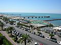
Massa
-
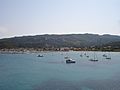
Rogliano
-
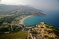
Pietracorbara
-
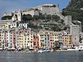
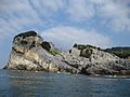
Portovenere
-
Palmaria
-
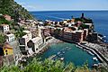
Vernazza
-
Corniglia
-
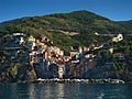
Monterosso al Mare
-
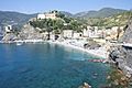
Riomaggiore
-
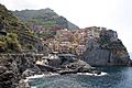
Manarola
-
Sori
-
Ceriale
-
Alassio
-
Laigueglia
-
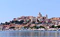
Imperia
-
Sanremo


See also
 In Spanish: Mar de Liguria para niños
