List of Indiana state historical markers in Greene County facts for kids
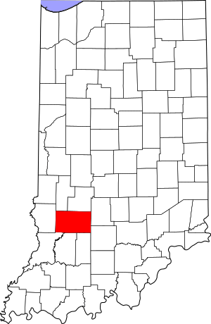
This is a list of the Indiana state historical markers in Greene County.
This is intended to be a complete list of the official state historical markers placed in Greene County, Indiana, United States by the Indiana Historical Bureau. The locations of the historical markers and their latitude and longitude coordinates are included below when available, along with their names, years of placement, and topics as recorded by the Historical Bureau. There are 2 historical markers located in Greene County.
Historical markers
| Marker title | Image | Year placed | Location | Topics |
|---|---|---|---|---|
| Richland-Plummer Creek Covered Bridge |  |
1998 | Northeastern end of the Richland-Plummer Creek Covered Bridge, which carries Baseline Road over Plummer Creek about 2 miles south of Bloomfield 38°59′35″N 86°56′16″W / 38.99306°N 86.93778°W |
Transportation, Buildings and Architecture |
| Fred A. Jewell |  |
1998 | Junction of U.S. Route 231 and State Road 157 at Fountain Triangle Park in Worthington 39°7′8″N 86°58′34.5″W / 39.11889°N 86.976250°W |
Arts and Culture |

All content from Kiddle encyclopedia articles (including the article images and facts) can be freely used under Attribution-ShareAlike license, unless stated otherwise. Cite this article:
List of Indiana state historical markers in Greene County Facts for Kids. Kiddle Encyclopedia.

