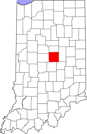
List of Indiana state historical markers in Hamilton County facts for kids
This is a list of the Indiana state historical markers in Hamilton County.
This is intended to be a complete list of the official state historical markers placed in Hamilton County, Indiana, United States by the Indiana Historical Bureau. The locations of the historical markers and their latitude and longitude coordinates are included below when available, along with their names, years of placement, and topics as recorded by the Historical Bureau. There are 5 historical markers located in Hamilton County.
Historical markers
| Marker title | Image | Year placed | Location | Topics |
|---|---|---|---|---|
| The Central Canal | 1994 | Junction of State Road 37 and 191st Street in Noblesville 40°4′0.5″N 85°59′12.1″W / 40.066806°N 85.986694°W |
Transportation, Business, Industry, and Labor | |
| Conner Street Historic District |  |
2005 | Conner Street and 17th Street in Noblesville 40°2′44.4″N 86°0′15.2″W / 40.045667°N 86.004222°W |
Historic District, Neighborhoods, and Towns, Buildings and Architecture, Business, Industry, and Labor, Transportation |
| Conner Street Historic District |  |
2005 | 1039 Logan Street in Noblesville 40°2′47.4″N 86°0′42.8″W / 40.046500°N 86.011889°W |
Historic District, Neighborhoods, and Towns, Buildings and Architecture, Business, Industry, and Labor, Transportation |
| Potter's Covered Bridge |  |
2007 | 19401 N. Allisonville Road in Noblesville 40°4′21″N 86°0′1.6″W / 40.07250°N 86.000444°W |
Buildings and Architecture, Transportation |
| Rhodes Family Incident |  |
2008 | Asa Bales Park at the junction of U.S. Route 31 and Hoover Street in Westfield 40°3′0″N 86°7′48″W / 40.05000°N 86.13000°W |
[none] |

All content from Kiddle encyclopedia articles (including the article images and facts) can be freely used under Attribution-ShareAlike license, unless stated otherwise. Cite this article:
List of Indiana state historical markers in Hamilton County Facts for Kids. Kiddle Encyclopedia.

