Lochiel, Indiana facts for kids
Quick facts for kids
Lochiel, Indiana
|
|
|---|---|

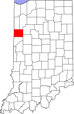
Benton County's location in Indiana
|
|
| Country | United States |
| State | Indiana |
| County | Benton County |
| Township | Union Township |
| Elevation | 797 ft (243 m) |
| Time zone | UTC-5 (Eastern (EST)) |
| • Summer (DST) | UTC-4 (EDT) |
| ZIP code |
47944
|
| Area code(s) | 765 |
| GNIS feature ID | 438196 |
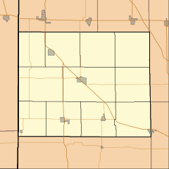
Lochiel is an unincorporated community in Union Township, Benton County, in the U.S. state of Indiana.
Geography
Lochiel is located at 40°39′51″N 087°16′26″W / 40.66417°N 87.27389°W at an elevation of 801 feet.
History
A post office at Lochiel was established in 1883, and remained in operation until it was discontinued in 1907. The community was named after Clan Cameron, also known as Lochiel.

All content from Kiddle encyclopedia articles (including the article images and facts) can be freely used under Attribution-ShareAlike license, unless stated otherwise. Cite this article:
Lochiel, Indiana Facts for Kids. Kiddle Encyclopedia.

