
Mohawk Mountains facts for kids
Quick facts for kids Mohawk Mountains |
|
|---|---|

Low clouds on the Mohawk Mountains
|
|
| Highest point | |
| Peak | Mohawk Peak |
| Elevation | 2,775 ft (846 m) |
| Dimensions | |
| Length | 35 mi (56 km) NW–SE |
| Width | 5 mi (8.0 km) |
| Geography | |

Location in Arizona
|
|
| Country | United States |
| State | Arizona |
| Region | Central & Northwestern Sonoran Desert |
| District | Yuma County |
| Range coordinates | 32°35′23″N 113°38′51″W / 32.58972°N 113.64750°W |
| Borders on | Gila River (N) San Cristobal Valley (NE) Mohawk Valley (SW) Bryan Mountains (SE) |
The Mohawk Mountains (Maricopa: Vii Kachkwiny, O'odham: Kusvo To:b) is a mountain range in the northwest Sonoran Desert of southwest Arizona. It abuts the western Gila River valley to the north (the Lower Gila River Valley), and is located in southern Yuma County. The Mohawk Valley lies adjacent and southwest of the range; the San Cristobal Valley is northeast.
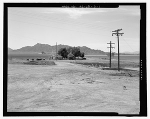
The Mohawk Mountains-Bryan Mountains is a northwest-southeast trending block faulted system. Mohawk, Arizona on Interstate 8 is located on the north end of the range; Mohawk Pass traverses the range with the interstate route.
The highest point in the Mohawk Range is Mohawk Peak at 2,775 feet (846 m).

All content from Kiddle encyclopedia articles (including the article images and facts) can be freely used under Attribution-ShareAlike license, unless stated otherwise. Cite this article:
Mohawk Mountains Facts for Kids. Kiddle Encyclopedia.