National Register of Historic Places listings in Washington County, Missouri facts for kids
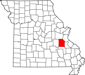
This is a list of the National Register of Historic Places listings in Washington County, Missouri.
This is intended to be a complete list of the properties and districts on the National Register of Historic Places in Washington County, Missouri, United States. Latitude and longitude coordinates are provided for many National Register properties and districts; these locations may be seen together in a map.
There are 11 properties and districts listed on the National Register in the county.
Current listings
| Name on the Register | Image | Date listed | Location | City or town | Description | |
|---|---|---|---|---|---|---|
| 1 | Caledonia Historic District |
(#86003389) |
Roughly bounded by Patrick, College, and Alexander Sts., and MO 21 37°45′48″N 90°46′18″W / 37.763333°N 90.771667°W |
Caledonia | ||
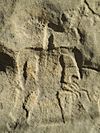
| 2 | Cresswell Petroglyph Archeological Site |
(#71000482) |
Address restricted |
Fertile | ||
| 3 | George Cresswell Furnace |
(#88000613) |
MO F 38°02′27″N 90°50′20″W / 38.040833°N 90.838889°W |
Potosi | ||
| 4 | Land Archeological Site |
(#72000734) |
Address restricted |
Caledonia | ||
| 5 | Lost Creek Pictograph Archeological Site |
(#71000481) |
Address restricted |
Caledonia | ||
| 6 | Palmer Historic Mining District |
(#10000964) |
Surrounding Palmer for several miles in all directions 37°50′40″N 90°59′15″W / 37.844444°N 90.987500°W |
Potosi | More than 15 miles (24 km) of land in the Mark Twain National Forest | |
| 7 | Harrison Queen House |
(#02000700) |
Hwy C, 1.3 mi. W of MO 21 37°46′48″N 90°47′55″W / 37.78°N 90.798611°W |
Caledonia | ||
| 8 | Susan Cave (23WA190) |
(#89000758) |
Address restricted |
Shirley | ||
| 9 | Washington County Courthouse |
(#11000765) |
102 N. Missouri St. 37°56′12″N 90°47′17″W / 37.936667°N 90.788056°W |
Potosi | ||
| 10 | Washington State Park CCC Historic District |
(#85000517) |
Roughly bounded by MO 102 and MO 104 38°05′01″N 90°41′13″W / 38.083611°N 90.686944°W |
Potosi | ||
| 11 | Washington State Park Petroglyph Archeological Site |
(#70000352) |
Address restricted |
Fertile |

All content from Kiddle encyclopedia articles (including the article images and facts) can be freely used under Attribution-ShareAlike license, unless stated otherwise. Cite this article:
National Register of Historic Places listings in Washington County, Missouri Facts for Kids. Kiddle Encyclopedia.


