South Acomita Village, New Mexico facts for kids
Quick facts for kids
South Acomita Village, New Mexico
|
|
|---|---|
| Country | United States |
| State | New Mexico |
| County | Cibola |
| Area | |
| • Total | 0.5 sq mi (1.4 km2) |
| • Land | 0.5 sq mi (1.4 km2) |
| • Water | 0 sq mi (0.0 km2) |
| Elevation | 6,030 ft (1,840 m) |
| Population
(2010)
|
|
| • Total | 105 |
| • Density | 188/sq mi (72.4/km2) |
| Time zone | UTC-7 (Mountain (MST)) |
| • Summer (DST) | UTC-6 (MDT) |
| Area code(s) | 505 |
| FIPS code | 35-73925 |
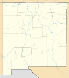
South Acomita Village is a census designated place (CDP) in Cibola County, New Mexico, United States. The population was 105 at the 2010 census.
Geography
South Acomita Village is located in northern Cibola County at 35°3′24″N 107°34′7″W / 35.05667°N 107.56861°W near the northeastern corner of the lands of Acoma Pueblo. It occupies land on the south side of the valley of the Rio San Jose. North Acomita Village is directly to the north on Indian Service Route 30. Exit 102 on Interstate 40 at Sky City Casino is 1.5 miles (2.4 km) to the north of South Acomita.
According to the United States Census Bureau, the CDP has a total area of 0.54 square miles (1.4 km2), all of it land.
Education
All public schools in the county are operated by Grants/Cibola County Schools.
See also
 In Spanish: South Acomita Village (Nuevo México) para niños


